


This article was written regarding work conducted under legacy company names: Continental Mapping, GISinc, or TSG Solutions. These three companies merged in January 2021 to form a new geospatial leader Axim Geospatial.
This article was written regarding work conducted under legacy company names: Continental Mapping, GISinc, or TSG Solutions. These three companies merged in January 2021 to form a new geospatial leader Axim Geospatial.
Patrick Murn | 2017
Fort Hood in Texas completed a pavement analysis with the help of photogrammetry and aerial lidar data.
Patrick Murn | 2017
Antrim County, MI developed hydrographic modeling for the FEMA Risk Map program with the help of aerial lidar data.

Patrick Murn | 2016
USACE utilized imagery, lidar, surveys, and photogrammetric mapping to help monitor aging infrastructure at the Table Rock Lake Dam.
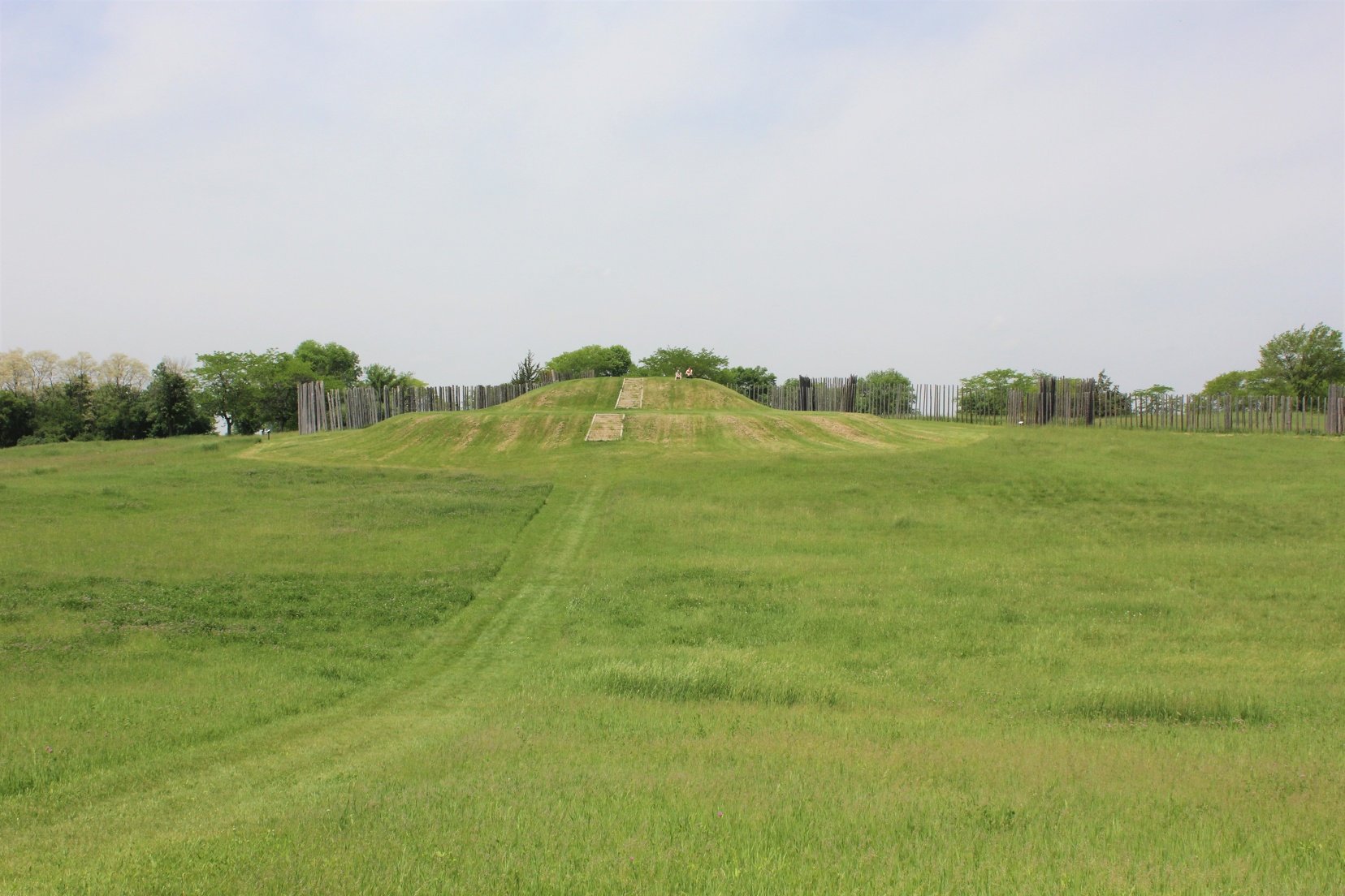
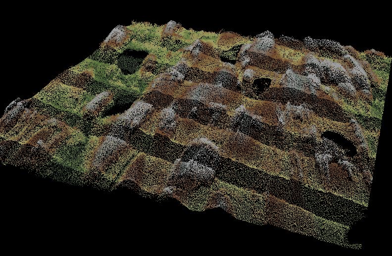
Patrick Murn | 2016
Wisconsin DNR developed a 3D rendering of an ancient Middle-Mississippian village at Aztalan State Park with the help of aerial lidar data.
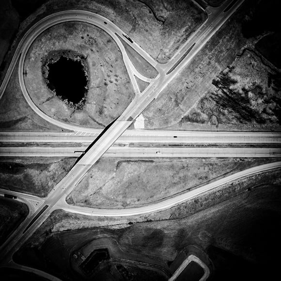
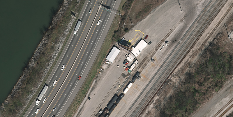
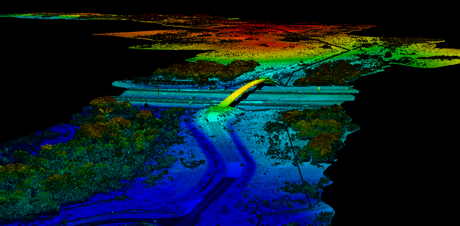
Patrick Murn | 2015
WisDOT changed US-41's designation from highway to interstate with the help of imagery and data collected by Axim Geospatial.
