


This article was written regarding work conducted under legacy company names: Continental Mapping, GISinc, or TSG Solutions. These three companies merged in January 2021 to form a new geospatial leader Axim Geospatial.
Wildfires in the Western United States and across the globe are becoming more and more prevalent. According to the National Interagency Fire Center, 2020 saw over 50,000 wildfires in the US that burned over 8 million acres of land. That is almost double the amount burned in 2019. Utilizing scientific data and research is essential to preventing and mitigating damage to people, homes, infrastructure, and the environment that wildfires present.
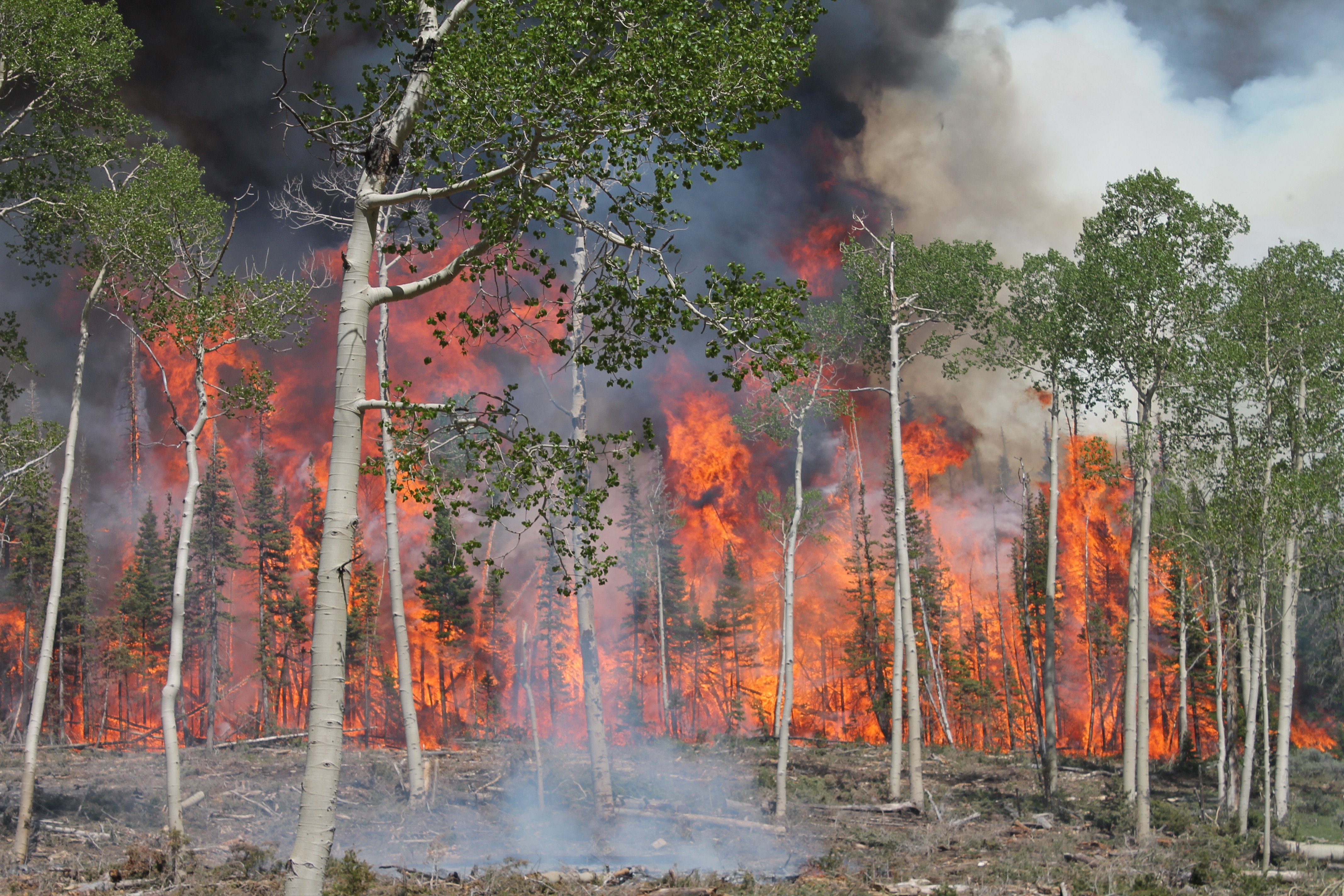
 Prescribed burns create plumes of smoke across the Fishlake National Forest | Kreig Rasmussen, Fishlake National Forest
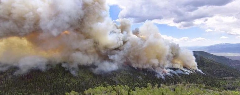
That’s where the United States Forest Service (USFS) and the multi-agency Fire and Smoke Model Evaluation Experiment (FASMEE) come in. FASMEE is an effort to provide advanced measurements necessary to evaluate and improve fire and smoke modeling applications and their foundational scientific models. Comprehensive source data for the study include fuels, fire, atmosphere, and smoke measurements.
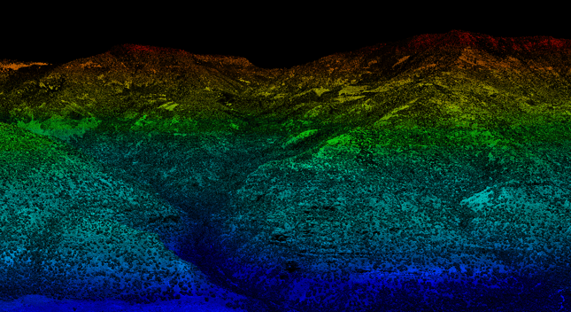
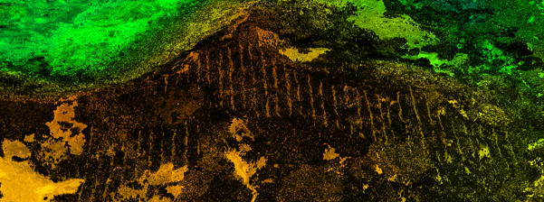
Aerial lidar provides detailed coverage for wide expanses of land
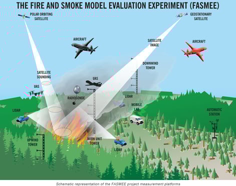
FASMEE is a large-scale research project using numerous data sources and perspectives to understand the full scope of fire and smoke models. The goal of FASMEE is to utilize this plethora of scientific data, from the chemistry of smoke emissions to plume dynamics and meteorology, to understand the full picture when it comes to wildfires. FASMEE uses data from satellites, aircraft, UAS, towers, radiosondes, and field labs to capture information, and each tool gives a specific perspective to the mosaic of fire and smoke information.
 To assist with one facet of the research effort, Axim Geospatial was selected by prime contractor TAC to handle data processing and production of aerial lidar data captured from fixed wing aircraft across four wildfire burn sites. The aerial lidar platform allows for fast and wide area coverage, and the processed aerial lidar data provides researchers with detailed geospatial data to understand the site conditions. Part of the FASMEE Western Wildlife Campaign, four fires (two prescribed burns, two wildfires) were studied at Fishlake National Forest in central Utah and Kaibab National Forest in Northern Arizona. Axim was chosen due to the firm’s experience with using aerial lidar to create digital mapping products with high accuracy, and the ability to work with such large-scale projects.
measurement platform and the types of tools deployed
to collect information. | US Forest Service
"Across the four sites, Axim Geospatial created detailed mapping products from aerial lidar data covering 80 square miles."
Across the four sites, Axim created detailed mapping products from aerial lidar data covering 80 square miles. These included mapping to show elevation contours, digital terrain models, classified lidar point clouds (ICSM Level 2, which classifies the points into ground, vegetation, buildings/structures, and water), geodatabases showing the tree canopy height, flightpaths, and detailed metadata. The firm processed, produced, and delivered products all within 30 days.
-01.png?width=510&name=FASMEE%20Lidar%20Roadway%20and%20Powerlines%20(1)-01.png)
This mapping data, combined with various other data collected, are the key research inputs to the FASMEE study, conducted by more than 40 Federal, state, and university scientists. The program continues to study the way smoke and fire spread, and how to mitigate future damage to people, homes, infrastructure, and the environment.
For more information on FASMEE, videos of the prescribed burns, and additional media visit the FASMEE project page.

