This article may reference work, projects, customers, and contracts related to NV5 legacy companies before their acquisition by NV5.
The landscape of Geographic Information Systems (GIS) has rapidly evolved, transitioning from traditional on-premises systems anchored on physical servers to more efficient cloud-based solutions. This transition to the cloud is not merely a technological trend. It's about optimizing spatial data management, ensuring broader accessibility, and fostering informed decision-making. As we dig into this topic, we'll provide insights into the intricacies of both on-premises and cloud deployments, aiming to equip you with the knowledge to make the best choices for your GIS infrastructure.
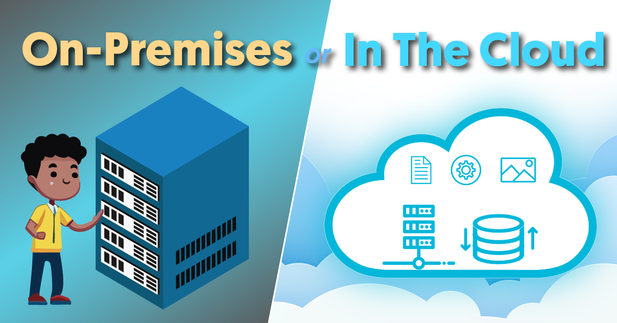
Understanding On-Premises Deployment of ArcGIS Enterprise
Traditionally, on-premises deployment of ArcGIS Enterprise required specialized physical servers to handle the complexities of spatial data. Often integrated into broader IT frameworks like data centers, these servers were pivotal for processing a spectrum of data, from intricate maps to multifaceted datasets. The on-premises model granted organizations full ownership and control over their GIS however, this approach came with its set of challenges. The substantial financial and operational costs of establishing, maintaining, updating, and scaling this infrastructure became evident as GIS applications grew more sophisticated. Additionally, the system's localized nature restricted remote access, complicating external collaborations and remote operations.
The Shift to Cloud Deployment of ArcGIS Enterprise
With the advancement of IT and the rise of cloud technologies, ArcGIS Enterprise received the opportunity to operate in a more dynamic and expansive environment compared to traditional on-premises systems. A few benefits of the cloud include:

Scalability: One of the hallmark features of cloud deployment is its scalability. As demands surge, the environment’s resources can more easily be expanded, whether it be adding CPU processing cores, additional ArcGIS servers, data storage, or enhanced network bandwidth, ensuring consistent performance without overburdening the system.

Universal Accessibility: When deployed in the cloud, components of ArcGIS Enterprise, such as the Portal, Server, and Data Store, are accessible from virtually any location with internet connectivity. This widespread accessibility empowers GIS professionals to engage with data more dynamically, fostering efficient collaborations and promoting rapid, data-driven decision-making.
 Global Data Centers: By leveraging an established cloud service such as AWS or Azure, ArcGIS Enterprise can tap into a network of global data centers. These centers not only ensure that data is stored redundantly across multiple locations for enhanced security and availability but also optimize data delivery. With data centers spread across different regions, users can access spatial data from a nearby source, ensuring faster responses.

Performance Enhancement: The cloud's distributed nature, combined with advanced data caching and content delivery networks, ensures that users receive data swiftly and efficiently, reducing wait times.

Modern IT Integration: With its flexible infrastructure and integration capabilities, the cloud naturally supports continuous integration and continuous deployment. This allows for unified software updates, rapid deployment of new features, and consistent alignment with best practices.
Considerations Before Migrating ArcGIS Enterprise to the Cloud
Transitioning ArcGIS Enterprise to the cloud is more than just a technical shift. This migration, while promising enhanced capabilities and flexibility, is a significant undertaking. It demands a careful blend of technical foresight, understanding the nuances of cloud environments, and aligning the move with broader organizational strategies and goals. Here's a detailed breakdown of key factors to consider:
 Organizational Alignment: Begin by ensuring the migration aligns with both immediate operational needs and the long-term vision of the organization. Engaging with all members who will be impacted from GIS specialists to top management, can help crystallize expectations. Additionally, consider the potential enhancements in user experience the cloud might offer, from tools to accessibility.

Financial Implications: While the cloud may offer cost savings in the long run, the initial migration can come with expenses, from data transfer costs to potential software licensing changes. A side-by-side cost analysis with current expenses is invaluable.

Security Considerations: The cloud introduces unique security dynamics. Emphasize data encryption, both in transit and at rest, ensure the cloud provider's adherence to industry standards, and bolster access controls, including measures like multi-factor authentication.

Current GIS Environment Evaluation: Next, it is important to conduct a thorough assessment of the existing GIS setup. This involves cataloging all GIS assets, from datasets to services, to gauge the migration's complexity. Performance metrics, such as response times and resource utilization, can provide insights into the cloud resources you'll need.

Cloud Infrastructure Requirements: When migrating to the cloud, it's crucial to understand which deployment options and infrastructure best suit both ArcGIS Enterprise and the organization's specific requirements. Choices may range from selecting virtual machines with appropriate resources, to considering containerized deployments, to utilizing managed services. Each decision should be carefully aligned with the scale and demands of your GIS operations. Network considerations are equally vital, especially when dealing with real-time data or large data transfers. It's imperative to assess factors such as bandwidth, latency, and associated data transfer costs. Cloud storage for ArcGIS Enterprise presents a diverse array of options using mainly high-speed SSD-backed databases or traditional block storage. Your storage choice should be informed by the type of data you have and its typical access patterns. Moreover, it's essential to have backup and disaster recovery strategies in place to safeguard your GIS data. Plans for integration with other IT systems should be mapped out, whether through VPNs, direct connections, or APIs. For organizations with a global reach, utilizing global data centers can provide both data redundancy and optimized content delivery.
 Licensing in Cloud Environments: In cloud environments, understanding the distinction between physical cores and virtual CPUs (vCPUs) is vital for ArcGIS Enterprise licensing. Adjusting or scaling resources, such as VM sizes, may alter the number of vCPUs, thus influencing licensing requirements. It's essential to be aware of these dynamics for accurate planning. Additionally, it's important to consider the different ArcGIS user types you’ll require. While resource scaling directly impacts core-based licensing, the need for different user types is determined by organizational roles and usage patterns, necessitating thorough planning.

Operational Continuity: Define an approach that ensures minimal disruption to ongoing GIS operations during the migration. This might involve phased migrations, backup strategies, or temporary hybrid setups to keep essential services running.
Cloud Scaling & Optimization
As GIS operations grow, it is necessary to accommodate for larger user bases or more extensive datasets, and there may be a pressing need to expand ArcGIS Server's capacity. Here's how this can be approached:
- Going Tall (Scaling Up): This strategy involves bolstering the existing ArcGIS Server's resources. For instance, if you initially set up your ArcGIS Server on a machine with 8GB RAM and 4 CPU cores, "going tall" might mean upgrading that machine to 16GB RAM and 8 CPU cores. This approach would be similar to upgrading the engine in a car for better performance. However, there's a limit to how much you can scale up a single machine.
- Going Wide (Scaling Out): Instead of just upgrading a single server, you can add more servers to your ArcGIS Enterprise deployment. Imagine starting with one ArcGIS Server and then adding two more to handle increased traffic. This approach distributes the load across multiple servers, ensuring no single server is overwhelmed. It's like adding more lanes to a highway to accommodate more cars. While this method requires additional licensing, it's generally more efficient due to improved load balancing across multiple server targets.
Conclusion
The journey from traditional on-premises setups to cloud-based deployments represents a significant evolution in the GIS industry. As organizations navigate this transition, it's essential to weigh the benefits, understand the challenges, and make informed decisions that align with their unique needs and goals.
NV5 is committed to guiding organizations through this process, ensuring that they harness the full potential of ArcGIS Enterprise, whether on-premises or in the cloud. By understanding the nuances of each deployment method, organizations can optimize their GIS operations, drive innovation, and remain at the forefront of the geospatial industry.