Tobey Kane-Seitz | March 29, 2023
Improve your utility network modeling with ArcGIS attribute rules for manhole configuration. Create manhole channel & pipe connection points for full traceability.
Read More
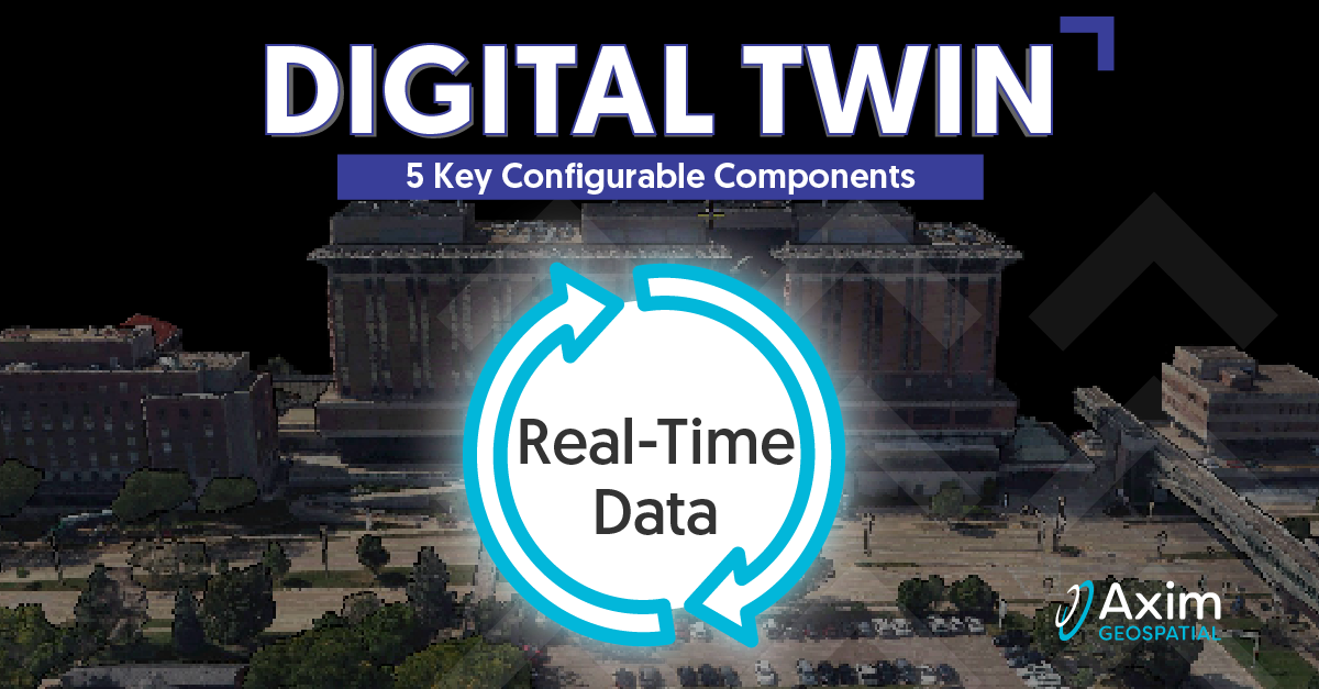
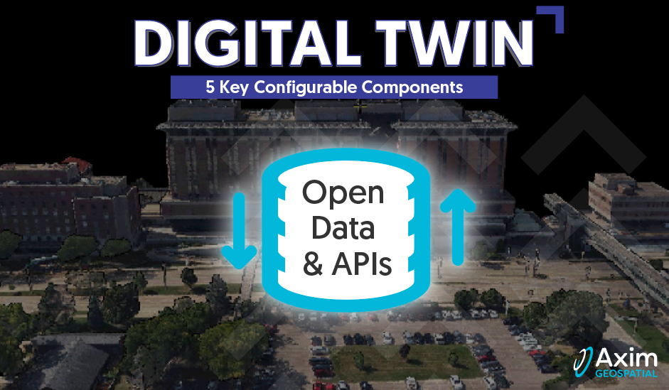
Pete Briere | February 27, 2023
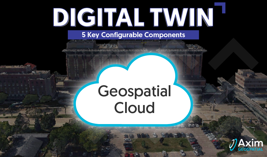
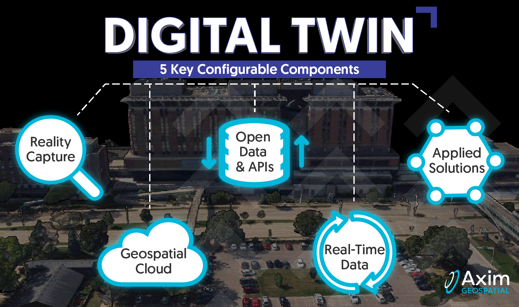
Axim explores the roots of Digital Twins, as well as the core configurable components that comprise a Digital Twin.
Read More
Pete Briere | February 14, 2023
Axim explores the roots of Digital Twins, as well as the core configurable components that comprise a Digital Twin.
Read More
Pete Briere | February 6, 2023
Axim explores the roots of Digital Twins, as well as the core configurable components that comprise a Digital Twin.
Read More
Pete Briere | January 24, 2023
Axim explores the roots of Digital Twins, as well as the core configurable components that comprise a Digital Twin.
Read More
Pete Briere | December 16, 2022
Axim explores the roots of Digital Twins, as well as the core configurable components that comprise a Digital Twin.
Read More
Kevin Stewart | October 5, 2022
Axim explores the roots of Digital Twins, as well as the core configurable components that comprise a Digital Twin.
Read More
Patrick Murn | January 5, 2022
Axim Geospatial’s mission is to use our expertise to provide clarity and solutions to help our clients solve the world’s toughest problems.
Read More
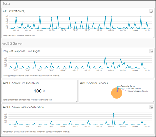
Kent Williams | June 17, 2020
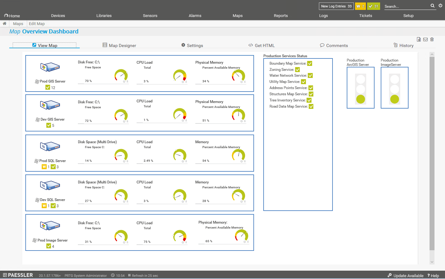
Server monitoring can take the form of a set of simple utilities that tell you the basic health of your system, it can be a comprehensive GIS-server-specific suite of tools with reporting and advanced notification, or somewhere in between.
Read More
Shannon Prather | May 1, 2020
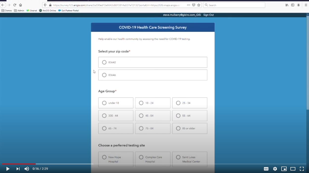
See how Survey123 and Esri's Operations Dashboard can capture and display data so responders can quickly access the need for COVID-19 testing centers.
Read More
Colin Johnson | March 19, 2020
Learn how to use analytics with masked protection for health data.
Read More
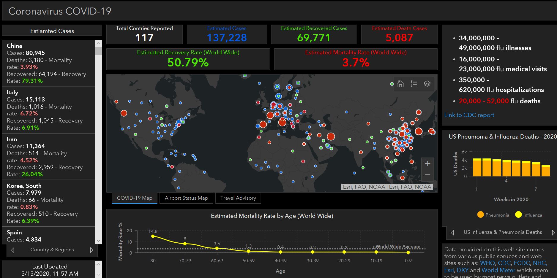
Shannon Prather | March 13, 2020
In the wake of the current COVID-19 (Coronavirus) pandemic, leaders and citizens across the globe want visualization and regular updates on the current spread, trends, and advisories. Leveraging Esri’s Operations Dashboard for ArcGIS allows them to leverage data streams to dynamically update their view and enable real-time decision making.
Read More