This article may reference work, projects, customers, and contracts related to NV5 legacy companies before their acquisition by NV5.
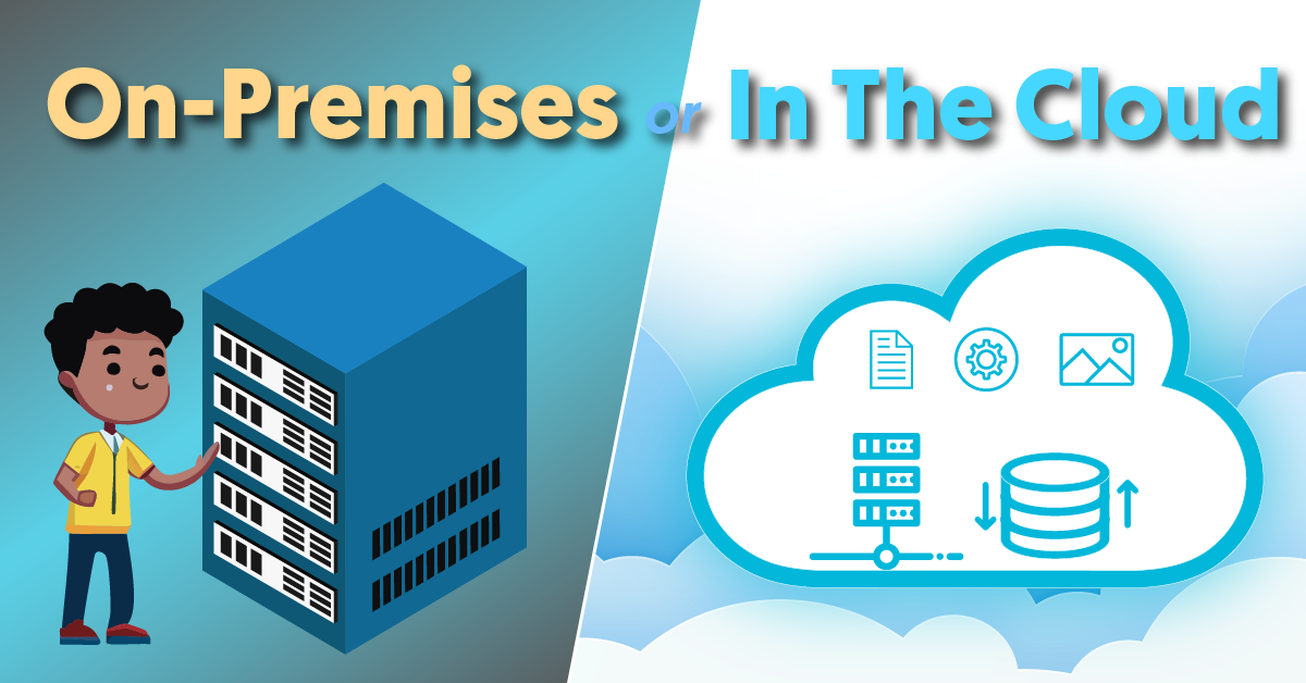
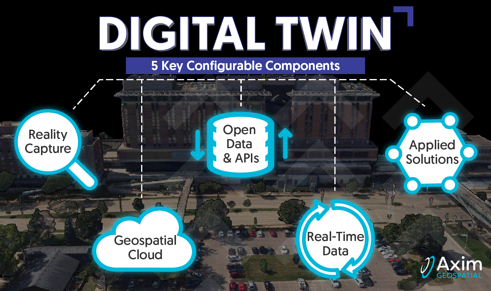
The landscape of Geographic Information Systems (GIS) has rapidly evolved, transitioning from traditional on-premises systems anchored on physical servers to more efficient cloud-based solutions. This transition to the cloud is not merely a technological trend. It's about optimizing spatial data management, ensuring broader accessibility, and fostering informed decision-making. As we dig into this topic, we'll provide insights into the intricacies of both on-premises and cloud deployments, aiming to equip you with the knowledge to make the best choices for your GIS infrastructure.