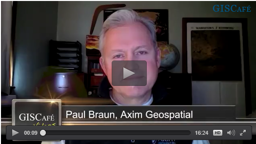
Earlier this month Sanjay Gangal from GISCafe interviewed Paul Braun, Senior Vice President of Sales and Marketing at Axim Geospatial, the full service, end-to-end geospatial services and solutions firm and a Platinum Partner of both Esri and Cityworks.
Click to watch the full interview, here:
 Highlights of the interview include:
- About Axim Geospatial
- Axim's mission - Use geospatial services and solutions to make the world a smarter, safer, and better place to live.
- Axim's vision - Empower customers to solve the world's toughest problems
- Axim's tagline - Clarity through geography
- History of Axim
- Continental Mapping Consultants acquired both TSG Solutions and GISinc to create 1 entity and rebranded as Axim in January 2022
- Together the capabilities have created a company that has the ability to provide end to end geospatial services from data collection and photogrammetry, all the way through to application development, cloud services, and long term maintenance and analytics of applications
- Not engineers, designers, or IT professionals - we're geospatial geeks through and through
- Markets Axim Serves: Security, Intelligence, DoD, Commands such as Navy and Army, Federal contracting such as NOAA, FEMA, BLM, State Governments like DOT, Local Governments like Utilities, and private companies such as Telecom, etc.
- Examples of recent projects:
- National Security
- Climate change and resiliency - Navy energy management and flood management.
- Emergency response - FEMA and BlueRoof program to understand the location of the damage and to identify needed resources.
- Services to support physical security - power generation areas, monitor facility with asset tracking for high-value assets.
- Infrastructure - roads, bridges, statewide asset inventory.
- Does Axim work internationally?
- Through DoD and Intel community we do a lot of satellite-based mapping
- Have mapped in 180+ countries, across every continent
- The majority of Axim's work is done in the continental US
- How is or can Axim support the war in Ukraine geospatially?
- Without going into detail, our services support humanitarian crises (e.g., Ebola, COVID-19, Zika) so that our customer can provide aid and services
- Another use case is status - helping customers understand what's there
- During the Afghanistan evacuation - our Air Mobility Command team stood up applications and worked 24/7 on shifts to bring tools to help with the biggest evacuation in human history
- Really provides purpose for our people
- What makes Axim Geospatial different?
- The Big Brain - when you work with one of us, you work with all of us. We leverage the hive mind of Axim to support clients in real-time. We tap the brains of our team across over 30 states and 4 time zones to help with efficiency, creativity, and effectiveness.
- How can you learn more about Axim?
- Visit our website at www.aximgeo.com
- Follow us on Social Media:
- LinkedIn: https://www.linkedin.com/company/aximgeo/
- Facebook: https://www.facebook.com/AximGeo
- Twitter: https://mobile.twitter.com/aximgeo


