This article may reference legacy company names: Continental Mapping, GISinc, or TSG Solutions. These three companies merged in January 2021 to form a new geospatial leader [Axim Geospatial].
Deploying broadband internet to rural America is a large challenge. Planning, engineering and deploying 5G networks in those same rural areas is even more complicated. Numerous challenges exist to bridging the divide including funding, political, technical, and engineering issues. Yet help is on the way.
The Director of the Federal Communications Commission, Ajit Pai, recently proposed a $20 billion “Rural Digital Opportunity Fund” to build out high speed internet to help connect up to four million homes in rural areas. Programs like this are helping move the dial on the funding and political issues. In addition, geospatial data already supports the technical and engineering issues behind deploying broadband to rural America. 3D geospatial data and continued improvements to the geospatial data will positively impact the engineering and technical issues for 5G as well. 5G will serve as the enabling technology for autonomous vehicles, smart communities and the Internet of Things worldwide. These services require access to 5G with minimum latency and are as critical to rural areas as suburban and urban.
Below are numerous ways in which geospatial data helps bridge the urban-rural divide and makes 5G a rural America reality.
1. Effective Network Design. Traditionally, 80% of fiber has been hung on poles with 20% buried underground, but those numbers are reversing, especially where communities demand utility infrastructure be kept out of sight. Up to date geospatial data gives 5G designers the ability to plan the most effective fiber implementation. In addition, fiber cables in less populated areas will carry signals between wireless cells for longer distances. In most cases, the buried fiber will be pulled in existing rights-of-way along highways and major transit corridors. Good geospatial data supports the effective design of long-distance, underground fiber routes.
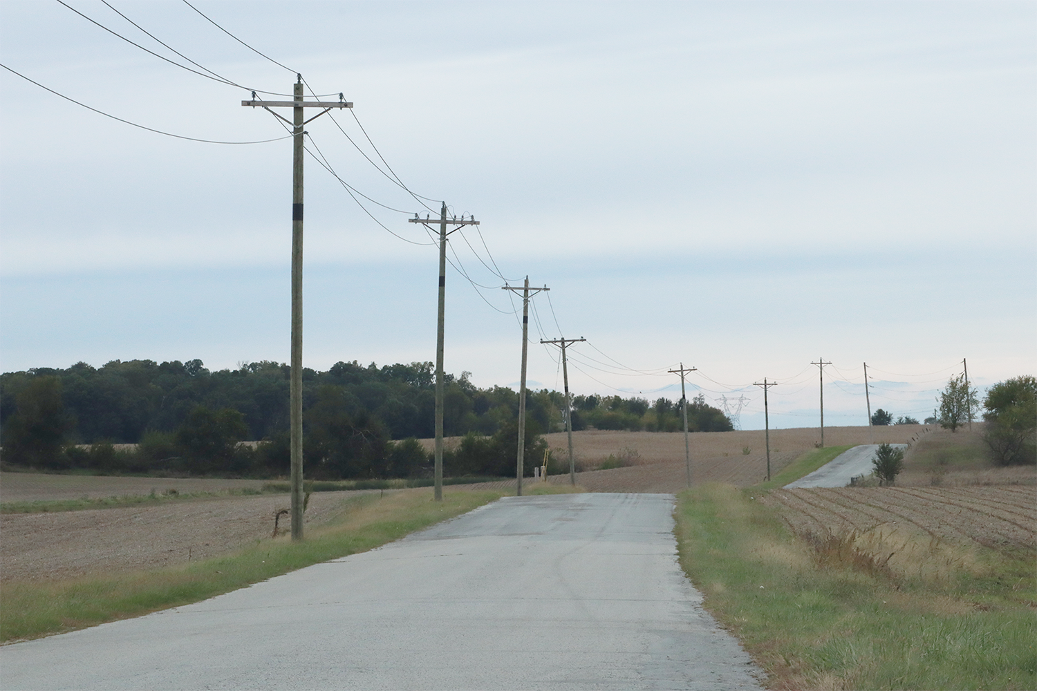
2. Data Currency for Pole Locations. One advantage rural areas have over urban areas is that utility poles are often plentiful, and hanging fiber on a pole is less expensive than burying it. The challenge for 5G planners, however, is knowing where those existing utility poles are. Speed and efficiency are needed to expedite geospatial data collection in large, open, rural areas. Technologies such as mobile lidar allows data to be collected in areas where traditional field survey isn’t viable.
3. Expedite 5G Antenna Siting. Antenna siting is key to all 5G implementations. In rural areas, this is even more critical as there is less existing infrastructure to hang an antenna upon. Good geospatial data allows designers to model dense antenna installations in expansive areas in order to optimize and minimize installation costs.
4. Fast Data Integration. County GIS programs have proliferated around the country. These programs provide baseline geospatial data that can be combined with fresh and fast geospatial data collection that serves as a catalyst for expedited design.
5. Leap Frog Implementation. Under served areas have a unique opportunity to jump right to a 5G implementation rather than updating technology from 3G, 4G, LTE implementations. Geospatial data helps make the direct leap to 5G.
6. Integrate Deployment into Construction. Geospatial data integrates with construction planning to ensure that new roadway construction is coordinated with fiber installs to ensure that new roadways are designed to with 5G infrastructure straight away.
Solutions

Fiber cable buried along a rural road.
We recommend using mobile lidar vehicles to capture details network planners need, such as street centerlines, pavement edges, manhole covers, utility boxes and any other visible feature that can guide where fiber can or can’t be buried.
In some oblique-angle aerial photography, utility poles can be identified and mapped by the shadows they cast, but for many urban and suburban settings, mobile mapping vehicles equipped with lidar will be the most cost-effective way to capture information about existing poles and towers. In addition to location coordinates, 5G network planners will likely need a photographic image of each pole to see other devices already hanging on it. This lets the network engineer know in advance if the pole is a suitable candidate for inclusion in the network.
Interested in reading more on the potential impact 5G will have in rural areas? Check out this article: https://www.pcmag.com/news/365565/what-will-5g-do-for-rural-areas
Get Started
We hope this article has provided some value to you! If you ever need additional help, don't hesitate to reach out to our team. Contact us today!