This article may reference Continental Mapping, GISinc, or TSG Solutions. These three legacy companies merged in January 2021 to form a new geospatial leader.
Military Installations are beginning to research and develop ‘Smart Base’ capabilities and concepts following maturing examples of ‘Smart Cities’ evolving all over the world. At a high level, the concept is to combine emerging technology, sensors and modern networks with enterprise systems and data to optimize services, response times, and inform decision-makers in real-time. The Internet of Things (IoT), Artificial Intelligence, Machine Learning (AI/ML) and Cloud-Based infrastructures are also playing a role in the architecture behind Smart Bases. Using all that is available today for a Smart Base concept, large volumes of data must be aggregated and integrated quickly and disseminated for use in business and location intelligence tools. The common thread cutting across all these capabilities is location. Nearly everything involved with the concept of a Smart Base includes a “Where” component.
Smart Bases vs. Smart Cities Comparison
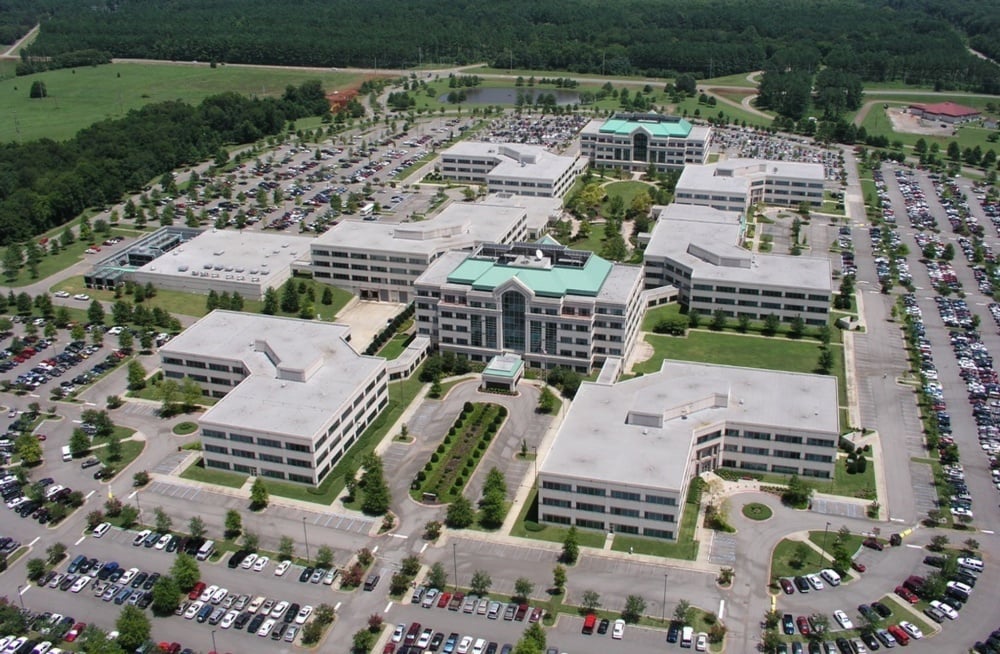
Military bases are like cities in that they include many of the same features such as buildings, infrastructure, and services for inhabitants as well as the surrounding community. Each base has their own unique community, geography, and surrounding environments. However, their objectives and mission serve as the backbone support base for military operations across the world.
The primary difference is that bases and installations are a part of the battle space. These locations are the training grounds and logistical service points for operations at home and abroad. As a result, security, resiliency, and protecting the installation from any kind of disruption is primary—and just as critical as optimizing services and improving efficiencies on the installation. Importantly, installations and their operations are confined to the real estate within their boundaries. Unlike cities, they are not likely to grow. They are surrounded by and often dependent on the neighboring public communities and infrastructure. Each military installation must maintain and update its own aging infrastructure within its boundaries, yet it is reliant on the ability to consume services for critical resources like energy and water from outside of its boundaries.
How Smart Bases are Envisioned
As unique as the geography and surrounding environment for each location, the term ‘Smart Base’ depends on the objective and program in place to enable or optimize a service. There exists a range of examples from autonomous vehicles to crowd-sourced applications.
- At Tyndall Air Force Base, AT&T and the Air Force have reconstructed and transformed the communications infrastructure with 5G-powered capabilities. 5G will be used to support flight line operations, manage base security and perimeters, and improve training for F-22 and F-35 Aircraft.
- At Maxwell-Gunter Air Force Base, AT&T and the Air Force have installed and integrated a network of connected sensors into the everyday operations around the base. As a proof-of-concept they have demonstrated and piloted smart perimeters, gate monitoring, notifications, fleet management and more to increase security, efficiency, and effectiveness.
- At Fort Carson, CO, a project is underway to test autonomous vehicles and sensors to reduce transportation costs, deliver faster services on base, and improve public safety.
The Assistant Secretary of the Army Installations, Energy and Environment (ASA IE&E) began an initiative in 2018 called Installations of The Future, where an approach and vision for Smart Bases is taking shape. The idea involves collaborating with smart cities, academic research groups and others to incorporate "smart technology" that can help to improve readiness, resiliency and sustainability for installations.
Currently the definition of a Smart Base is broad and unique to each location. However, the common themes involve a framework of sensors, large volumes of data, and a WHERE (location). The final piece of this puzzle is visualization. Smart Base technology requires business intelligence tools that make sense of the data. The technology must also enable its end users or devices the ability to make decisions and react to the sensor data as it flows in real or near real-time. For example, a user could be viewing the data on a map-based dashboard or an autonomous vehicle reacting to a triggered geo-event. There is much to consider on the technology spectrum that does not go without its challenges in security and authentication as well as networks that are evolving rapidly.
Integrating WHERE Geospatially
Geographic Information Systems (GIS) have been used to manage installations for decades. At an installation, GIS links to the system of record for real property. It is used to manage sensitive environmental management areas and can even be used for public safety on and off base. Facilities, infrastructure, and utilities on a base are managed using a GIS as well. By integrating GIS, ‘Where’ becomes a key part of the picture for Smart Bases and a core technology component for Smart Base projects.
Everything on the installation and within its boundaries from buildings and roads to runways and ranges have a geographic footprint. Sensors, whether fixed to a location or mobile, will be located somewhere on the base. Operational geographies exist as well. These are not physical objects, but operational spaces such as Accident Potential Zones (APZ) on a runway or Explosive Safety Quantity Distance (ESQD) arcs for ammunition storage facilities. They can also be cantonment areas or security perimeters requiring special or increased protection.
The good news is that Smart Base technology is coming after decades worth of mapping has been completed for the physical and operational geography of our bases. Smart Base concepts and programs can take advantage of a mature, stable and standards-based capability known as Installation Geospatial Information and Services (IGI&S). Each branch of service has an established IGI&S program with data standards, policy guidance and workflows for keeping our base mapping as complete and up to date as possible.
COVID-19 & Installations
The COVID-19 pandemic exemplifies the critical role our bases play in readiness as this infectious virus has threatened military operations worldwide. Every aspect of life on military installations from supply logistics to training has been disrupted. Army General Robert Abrams, commander of US Forces Korea acted early in the Pandemic to establish a “Protective Bubble” around US Installations in Korea. His decision was based on priorities to protect the force, continue training, maneuvering and operations, and ensure force readiness.
New lessons are emerging as a disruption of this scale places a new demand on our military. Smart Base solutions could evolve out of this new challenge. Resiliency measures like enhanced screening procedures for all those who enter or limiting off-base activity will require installations to find solutions to potentially enable automated tracking, monitor and control movement, and minimize impact to existing staff and missions.
For anyone currently interested in leveraging technology solutions specifically for COVID-19, we’ve recently published three free trainings on implementing powerful dashboards using Esri technology.
Additional Guidance
We hope this article has provided some value to you! If you ever need additional help, don't hesitate to reach out to the Axim team.