


This article was written regarding work conducted under legacy company names: Continental Mapping, GISinc, or TSG Solutions. These three companies merged in January 2021 to form a new geospatial leader Axim Geospatial.
Axim Geospatial has been providing staff augmentation services to the County of Oakland, MI since 2008. This ongoing relationship started with a single onsite resource to manage a data conversion project; however, the success of that engagement resulted in an additional onsite resource as well as extended staff augmentation through offsite support that is ongoing.
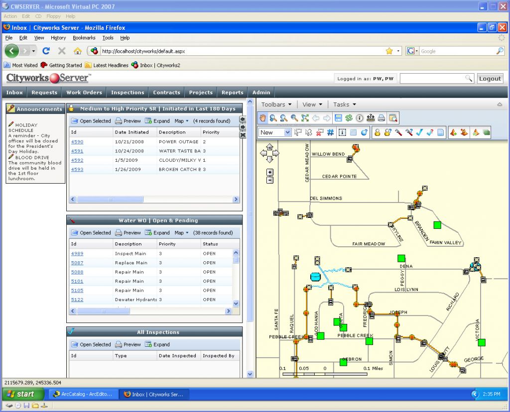
Central to the Axim tasking has been the implementation and maintenance of the Collaborative Asset Management System (CAMS), which is a multi-million dollar undertaking by the County to establish a framework for enterprise asset management that spans departments and includes local municipalities. Axim staff was primarily responsible for the following initiatives associated with CAMS:
- Data Conversion Management - Working with the cities, villages, and townships (CVTs) participating in CAMS to drive a multi-jurisdictional data project that entailed identifying, acquiring, and converting a range of source data into the County's standardized geodatabase model, communicating project status internally and externally, managing project budget, and allocating tasks to the conversion staff.
- CRM/CMMS Implementations - Managing the implementation of the Customer Request Management (CRM) component of CAMS for the Road Commission for Oakland County (RCOC), which includes a business requirements analysis, data needs assessment and subsequent system configuration, as well as serving as the technical lead on the implementation. Additionally, responsible for the implementation of both the CRM and CMMS (Computerized Maintenance Management System) components of CAMS for participating CVTs, including Auburn Hills, Oak Park, and Farmington Hills.
- System Architecture Design & Implementation - Managing the effort to establish and implement robust, multi-tiered, fault-tolerant system architecture to support the CAMS program. The complex structure and associated versioned workflows allow editors to leverage a single enterprise geodatabase containing thematically diverse data, which is owned and actively maintained by multiple agencies, departments and groups within Oakland County.
- Technical Support - Additional responsibilities of Axim staff include periodic programming/development efforts, including the creation of efficiency tools to streamline the data conversion effort, geodatabase reporting and schema comparison tools, custom QAQC tools to facilitate validation and automated data publishing tools. Axim staff is also responsible for administering ArcSDE geodatabase instances and ArcGIS Server services.

