Axim Geospatial is now an NV5 company!

Learn More

Case Studies

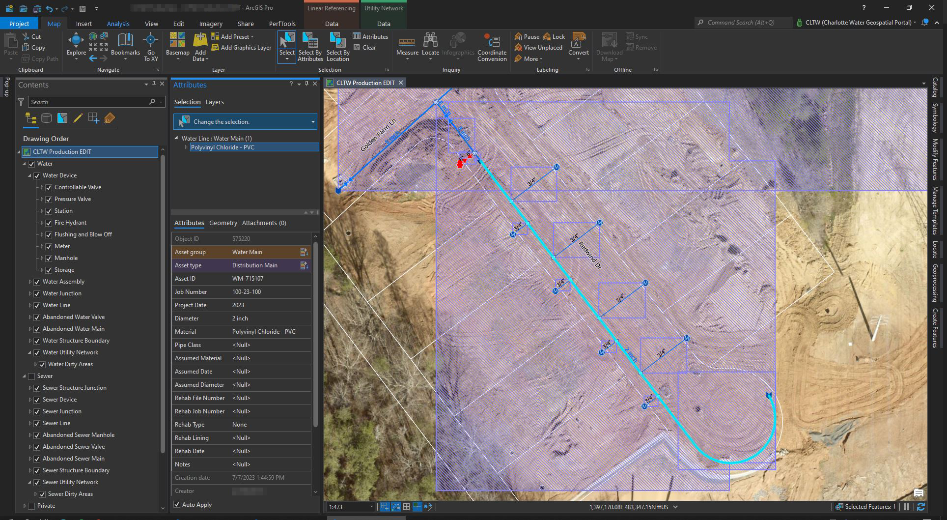
      How the City of Hastings Transitioned to ArcGIS Utility Network Despite COVID-19 Restrictions, Limited Resources, & More

      How the City of Hastings Transitioned to ArcGIS Utility Network Despite COVID-19 Restrictions, Limited Resources, & More

      Emerson Chew | 2022

      The City of Hastings ran into some challenges along the way that threatened their transition to the ArcGIS Utility Network. Here is how they overcame them.

      Read More
      Soaking Up The Sun In Texas – Aerial Mapping For Solar Farms

      Soaking Up The Sun In Texas – Aerial Mapping For Solar Farms

      Patrick Murn | 2021

      Renewable energy developers in Texas used aerial lidar and ortho imagery to understand conditions for future solar farm engineering projects.

      Read More
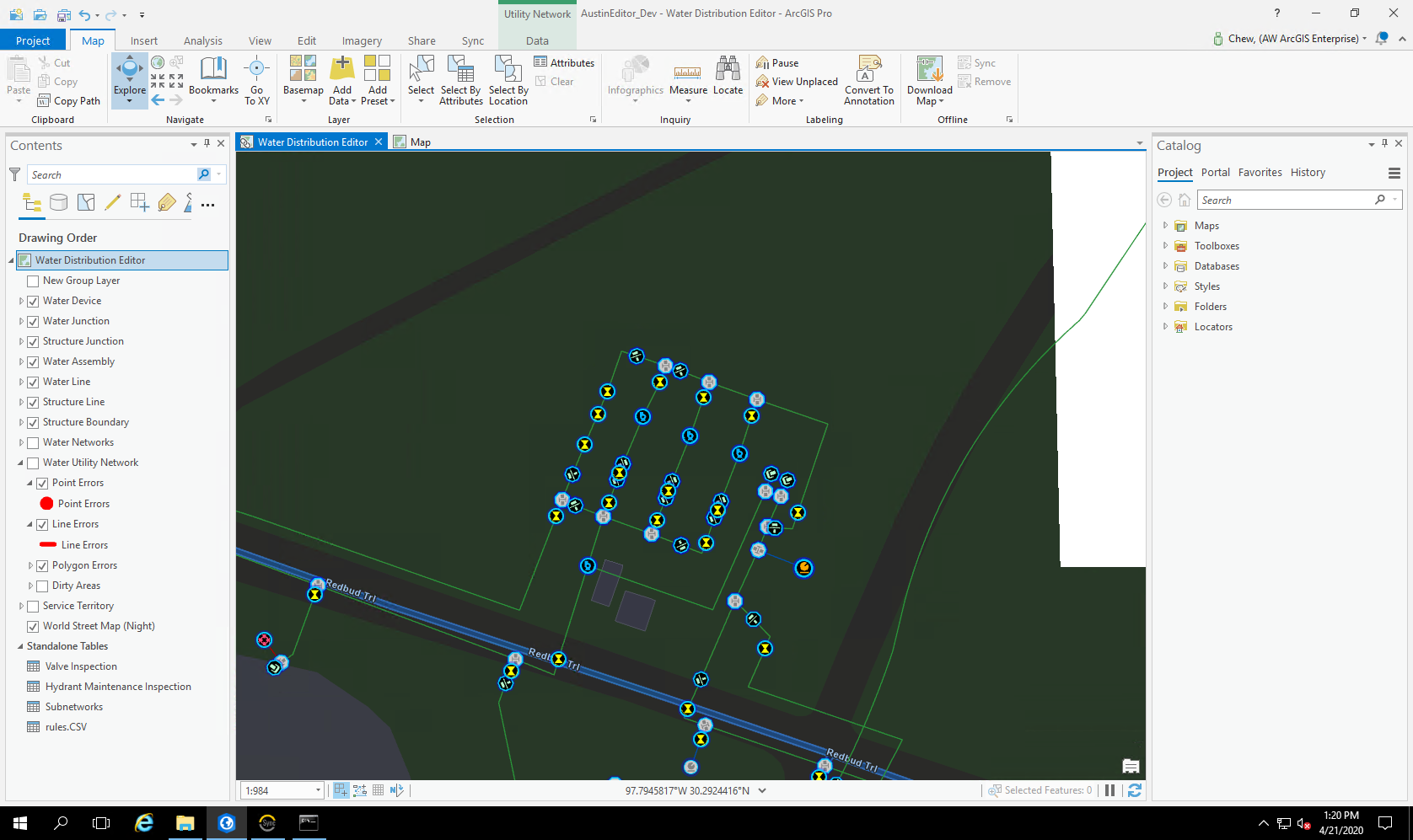
      City of Austin - Austin Water Uses SSP Sync for the Transition Planning and Implementation to Esri’s ArcGIS Utility Network

      City of Austin - Austin Water Uses SSP Sync for the Transition Planning and Implementation to Esri’s ArcGIS Utility Network

      Charidy Paige | 2020

      [Axim Geospatial] was selected to assess the organization’s readiness, redesign its geospatial data model, develop an implementation roadmap, and support initial implementation efforts for their migration.

      Read More
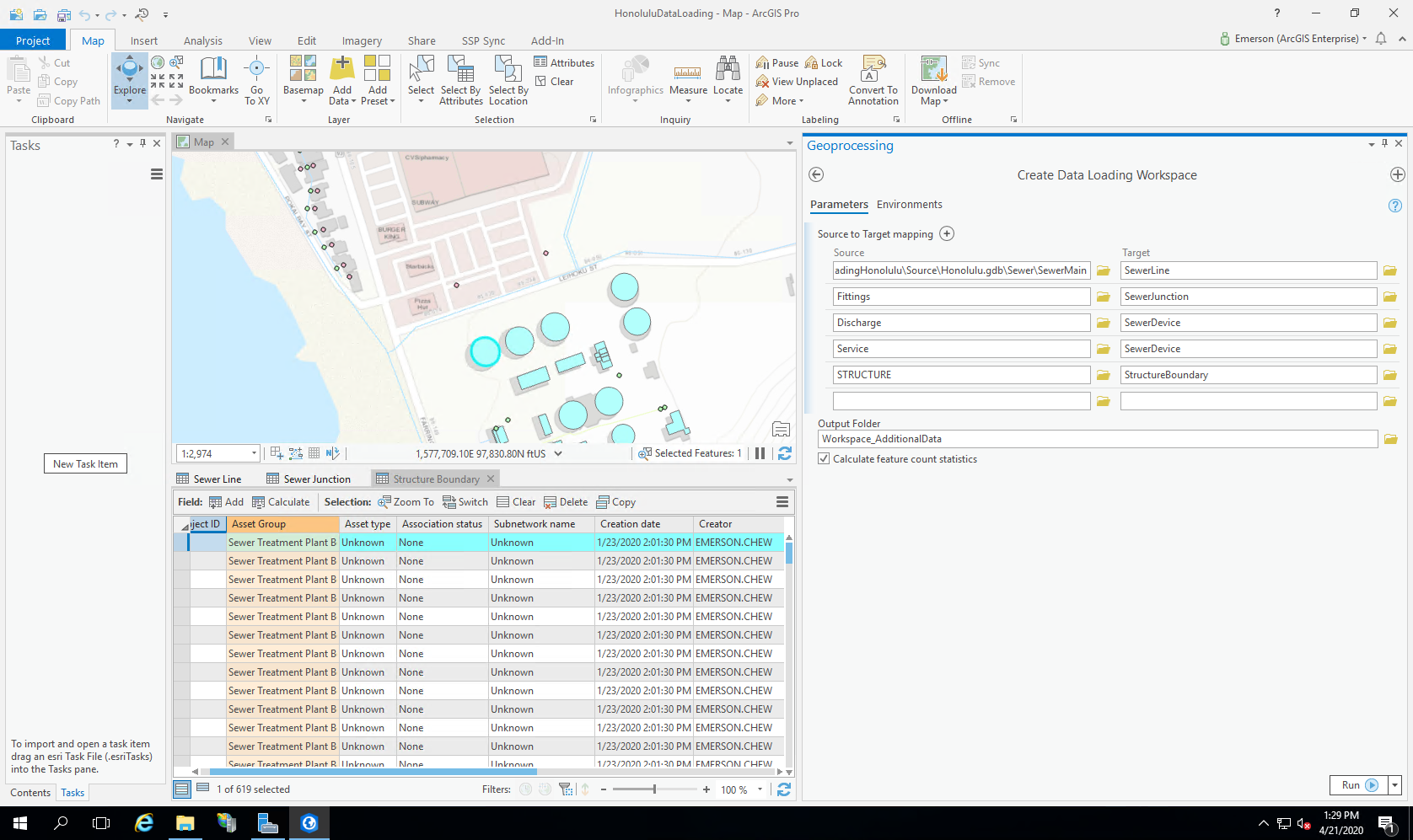
      Honolulu Department of Environmental Services Chooses ArcGIS Utility Network Readiness Assessment to Plan Migration

      Honolulu Department of Environmental Services Chooses ArcGIS Utility Network Readiness Assessment to Plan Migration

      Charidy Paige | 2020

      Honolulu ENV worked with [Axim Geospatial] to determine how to migrate to ArcGIS Utility Network.

      Read More
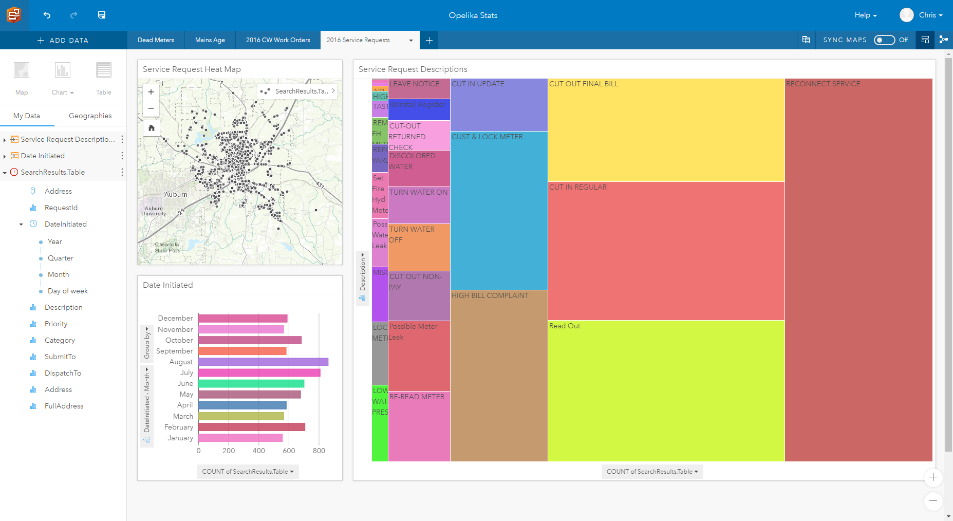
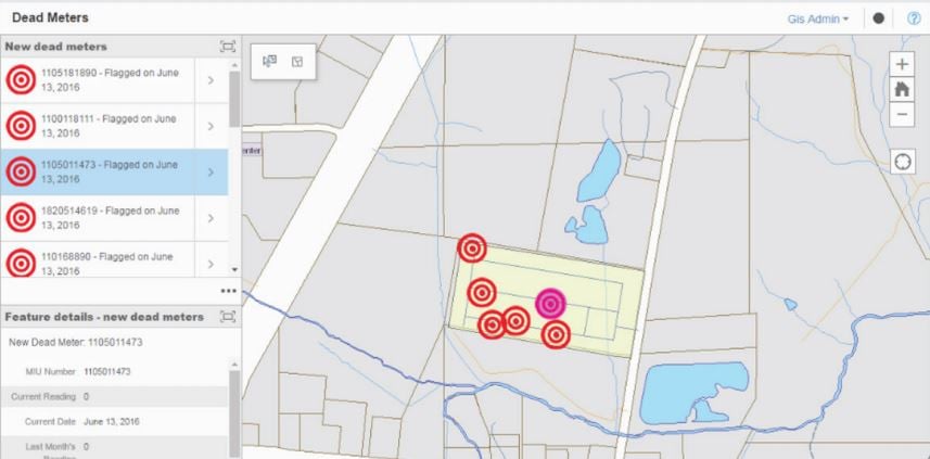
      Opelika Utilities - Dead Meter Solutions, Powered by Insights for ArcGIS

      Opelika Utilities - Dead Meter Solutions, Powered by Insights for ArcGIS

      Kevin Stewart | 2018

      Opelika Utilities - Dead Meter Solutions, Powered by Insights for ArcGIS

      Read More
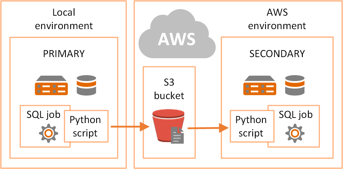
      Great Lakes Water Authority Uses Amazon Web Services Simple Storage Service for Disaster Recovery

      Great Lakes Water Authority Uses Amazon Web Services Simple Storage Service for Disaster Recovery

      Kevin Stewart | 2017

      Great Lakes Water Authority Uses Amazon Web Services Simple Storage Service for Disaster Recovery

      Read More
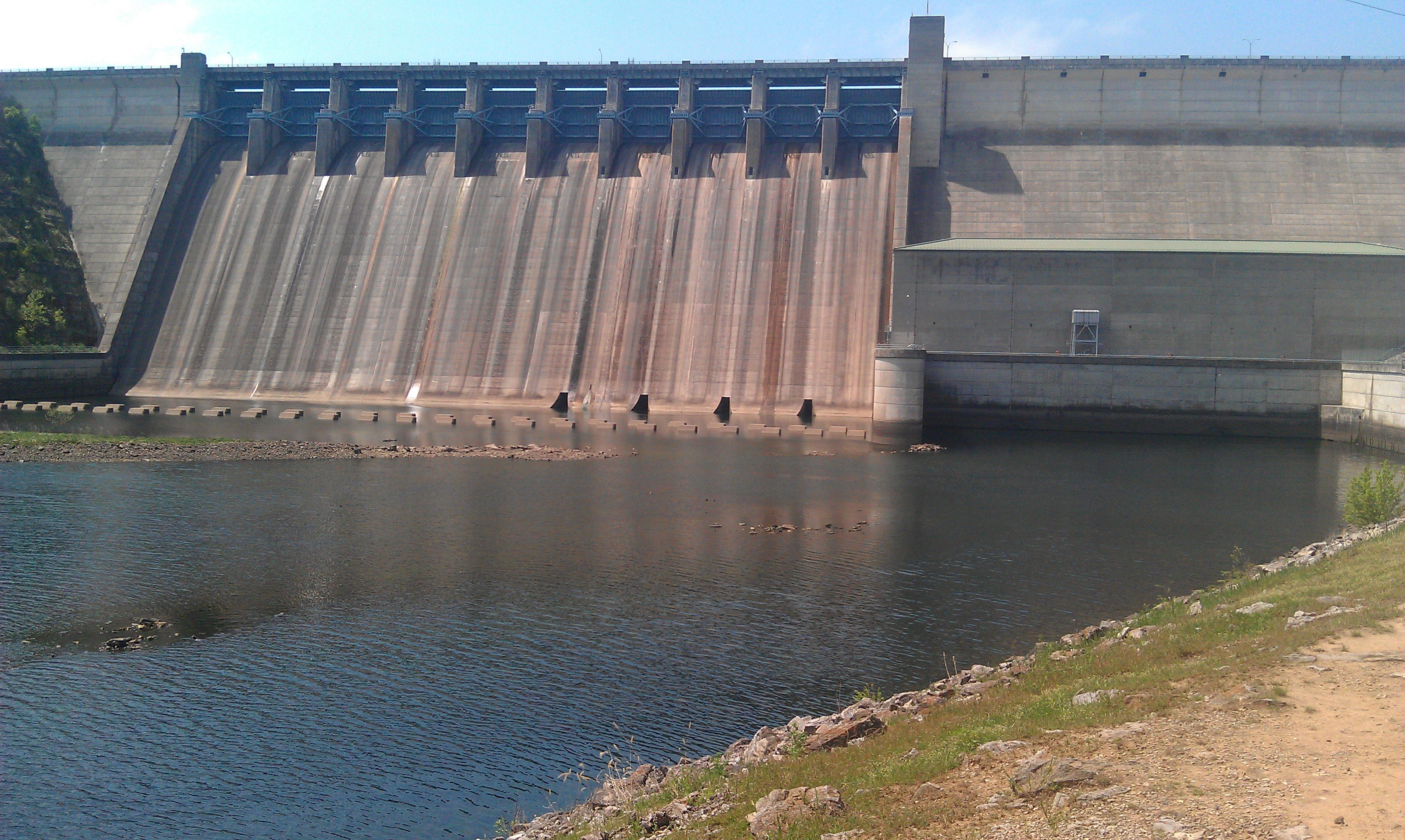
      USACE Table Rock Lake Aerial Lidar

      USACE Table Rock Lake Aerial Lidar

      Patrick Murn | 2016

      USACE utilized imagery, lidar, surveys, and photogrammetric mapping to help monitor aging infrastructure at the Table Rock Lake Dam.

      Read More
      Opelika Utilities - Water Loss Solution

      Opelika Utilities - Water Loss Solution

      Kevin Stewart | 2016

      Opelika Utilities - Water Loss Solution

      Read More
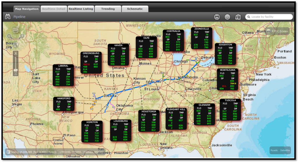
      SCADA Integration for Gas Utility Company

      SCADA Integration for Gas Utility Company

      Kevin Stewart | 2013

      The utility company had a SCADA system that it used to manage the infrastructure. What they needed was a web based system to view this information and that is what we delivered.

      Read More