This article may reference work, projects, customers, and contracts related to NV5 legacy companies before their acquisition by NV5.
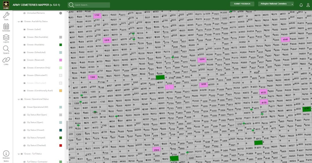
Arlington National Cemetery's successful migration of GIS services to the cloud lead to cost savings, improved performance, and enhanced visitor experiences. From identifying the right-fit solutions, to navigating safety and security requirements, the project overcame numerous challenges. Read more about how the team transitioned from aging on-premise infrastructure to the cloud, and the benefits that resulted.