


This article may reference work, projects, customers, and contracts related to NV5 legacy companies before their acquisition by NV5.
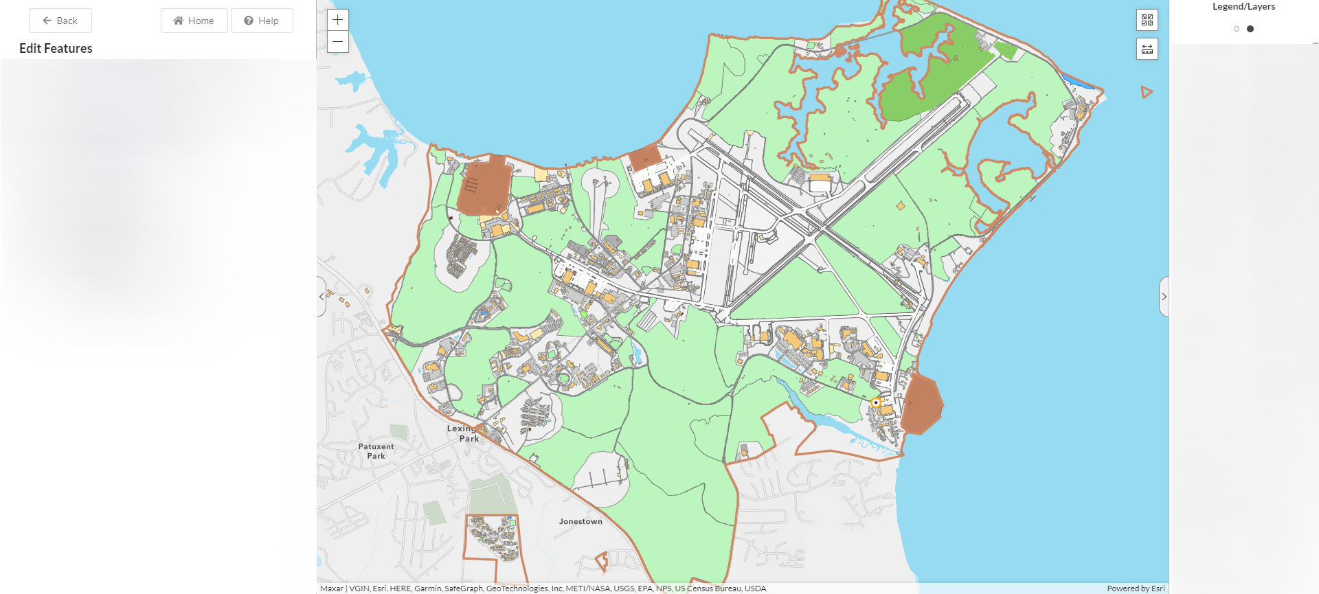
The United States Navy relies on critical shore infrastructure to empower its mission of defending our nation’s interests around the globe. Effective planning ensures support for the fleet, fighter, and family for today’s mission and beyond. Management of and planning for Navy assets requires data inputs from a variety of spatial and non-spatial systems. These datasets often support a very specific mission silo and must be integrated with other data to effectively plan for the future. The Navy employed Esri’s ArcGIS Enterprise in order to integrate these disparate datasets and empower the planning process.
The Navy leveraged a GIS-centric master planning solution to eliminate stand-alone systems, standardize processes, reduce costs, and empower non-GIS professionals to easily produce GIS and Master Planning content. In partnership with NV5, the Navy used ArcGIS Enterprise to create Installation Development Plan (IDP) and Area Development Plan (ADP) required maps. These maps are based on standard templates which natively integrate data from authoritative business systems. Planners are able to analyze the data in each map and make informed decision about future project efforts.
A Look at the Navy’s Ongoing Master Planning Implementation
Prior to the implementation of this solution, planners relied on desktop software and offline datasets to prepare Master Planning deliverables. The preparation, submission, and review process, in an off-line environment, can be cumbersome and costly. By utilizing the Navy’s GIS platform, NV5 developed a web-based application, the Master Planning Toolsuite (MPT), that eliminated the need for offline databases and tools while enabling planners to develop required maps from standardized templates, connect to authoritative systems, and share content.
By using a simplified web interface, Planners with little GIS experience can perform complex analysis and create authoritative, enterprise data and Master Planning products that can be used by the enterprise. For example, when performing site analysis to determine where to place a new project, Planners can perform constraints analysis using current enterprise data and quickly generate required data and maps through the web. Once complete, these maps and data are made available through a simplified viewer for enterprise use. With an improved master planning enterprise workflow, critical issues can be identified and addressed earlier and more cost effectively, all through the shared data and collaboration enabled by the new tools and strategies.

Current & Projected Results for the Navy’s Master Planning Strategy
The Navy is now working with fresh data, collaborating during each step of the planning process, and ensuring all data is stored in the Navy Data Model (NDM) for enterprise use. Benefits of the Master Planning Toolsuite (MPT) include:
- Cost reduction and elimination of silo system (Desktop Software/Tooldock)
- Enterprise solution for creation of standard Installation Development Plans/Area Development Plans maps
- Master Planning business solution is streamlined through authoritative business systems and eliminates the need for duplicative and non-standardized data development
- Empowers non-GIS professionals with the ability to create authoritative, enterprise Navy Data Model (NDM) data in a user-friendly interface
The Master Planning program is a focal point of many of our nation’s emerging challenges, from infrastructure modernization to Climate Resilience. By using the Navy’s GIS platform as an integration point, Navy planners are able to employ an enterprise-wide approach to these missions. The Master Planning Toolsuite (MPT) leverages the best of the Navy’s systems and data to empower the Navy’s people to make the best decisions.
Is your organization using your geospatial technology to its full potential? Are work silos holding you back? Schedule a call with the experts at NV5, and let’s determine how we can help you make the world a smarter, safer, and better place.

