This article was written regarding work conducted under legacy company names: Continental Mapping, GISinc, or TSG Solutions. These three companies merged in January 2021 to form a new geospatial leader Axim Geospatial.
Overview
The US Army’s Office of Energy Initiatives (OEI) is dedicated to “securing Army installations with energy that is clean, reliable, and affordable.” In 2015, OEI launched a large-scale renewable energy solar and wind project at Fort Hood, TX with a 63,000 solar panel farm capable of generating 15 MW of energy being a key component. Axim Geospatial provided boundary survey to support design and construction.
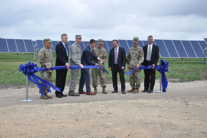 Ribbon cutting ceremony in June, 2017 (picture courtesy of Ft. Hood Sentinel)
Axim’s task was to provide a metes and bounds survey to establish an area, with the associated easements, and to develop plats. The area occupied portions of four separate parcels. The ALTA right-of-way and easement survey established a 132-acre area for the 63,000 panel solar array. Plats for the area and easements were developed for the US Army Office of Energy Initiatives (OEI). The farm also required that an energy distribution line was developed. Establishing the boundaries of the line location was complicated as it crosses eight parcels. The distribution line is approximately 4.28 miles in length.
As is the case with large construction project, timing was critical and as such, this project had an aggressive timeframe. The project required a very rapid two week turn-around to meet aggressive engineering deadlines after receiving approval. Axim met the deadline by ensuring all paperwork, access passes, training, and other administrative work was taken care of prior to the final task order signature, as well as working long hours through weekends and holidays.