This article may reference work, projects, customers, and contracts related to NV5 legacy companies before their acquisition by NV5.
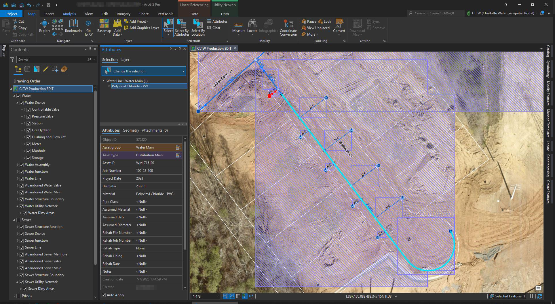
As the largest public water and wastewater utility in the Carolinas, Charlotte Water (CLTWater) serves over a million customers in the City of Charlotte and greater Mecklenburg County, including the towns of Matthews, Mint Hill, Pineville, Huntersville, Davidson, and Cornelius. The utility has operated since 1889 and maintains 4,500 miles of water mains and wastewater mains, over 18,000 hydrants, 17 water storage and pumping stations, and 74 wastewater lift stations.