


This article was written regarding work conducted under legacy company names: Continental Mapping, GISinc, or TSG Solutions. These three companies merged in January 2021 to form a new geospatial leader Axim Geospatial.
Overview
Nashville International Airport sees 10.6 million passengers each year and an estimated 30,000 vehicles passing through the area each day. Recent studies have projected a doubling of passengers within the next 20 years, which is troublesome when one considers the sizable obstacles to growth exist within the area.
The Donelson Pike cuts through the airport property and runs parallel to one of the airport’s main runways. Also, there are several parking lots along Donelson Pike creating conflict with the flow of traffic, as cars precariously merge in and out near the off ramp from I-40 to Donelson Pike. Updates to the existing infrastructure were a major Tennessee Department of Transportation (TDOT) priority.

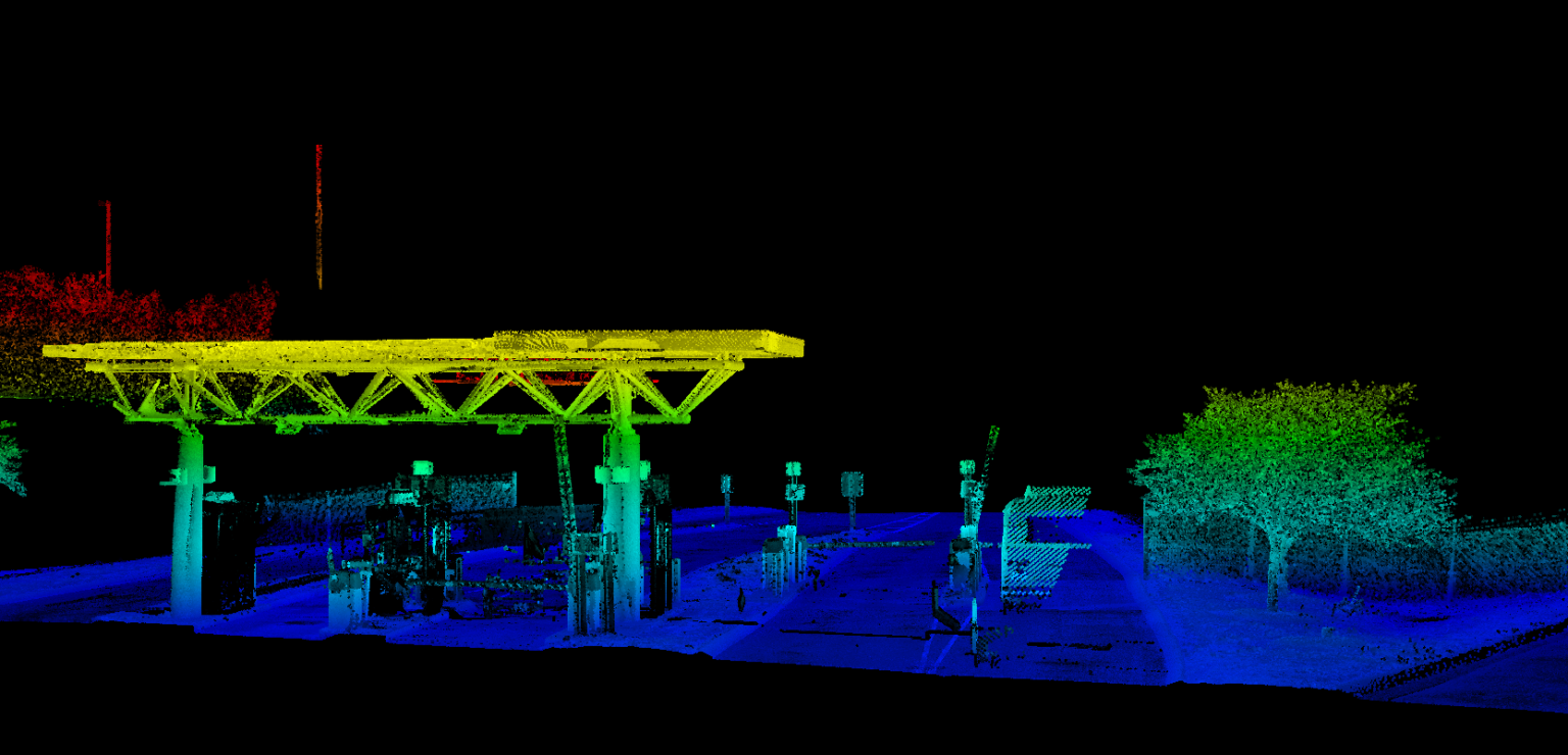
Axim Geospatial, TDOT’s sole master contract holder, was requested to acquire mobile lidar, conduct a comprehensive ground survey mission, extract all necessary features and deliver a comprehensive 3D model to support the DOT’s Airport expansion plan. Axim also planned an aerial imagery acquisition, to be undertaken by TDOT staff, so that its data could be merged with the mobile lidar data.
The project began with the targeting of 194 control points along I-40 and capturing their X, Y and Z values using GPS and digital differential leveling. Mobile lidar was acquired in only one day followed by post-processing and feature extraction. Axim staff completed a survey grade DTM at 0.1’foot vertical accuracy and collected road edges and all appurtenances within the roadway at a 1”=50’ scale. With Axim’s help, TDOT fused their imagery with the mobile lidar and ground control. TDOT staff then compiled 1”=50’ scale planimetric mapping from their imagery and created orthophotos from their imagery and planimetric mapping.
