This article was written regarding work conducted under legacy company names: Continental Mapping, GISinc, or TSG Solutions. These three companies merged in January 2021 to form a new geospatial leader Axim Geospatial.
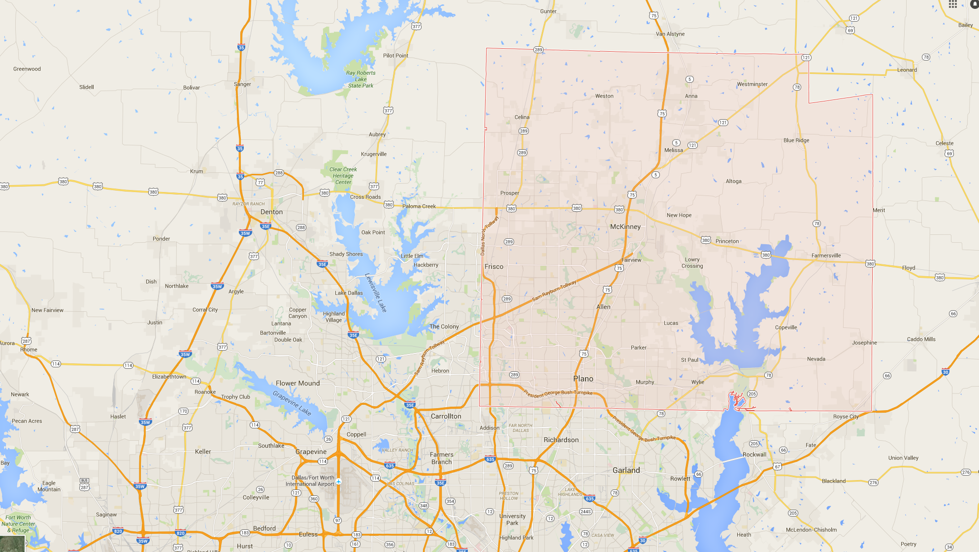
Axim Geospatial completed several enhancements to Esri’s Polling Locator template application that allows voting citizens of Collin County, Texas to locate the most convenient polling location in their area. The project was just one of many ways the County wanted to leverage the ArcGIS platform to better serve citizens.