Products & Services
Resources
Case Studies
Blog
News
Search
N|V|5
Products & Services
Resources
Case Studies
Blog
News
Search
N|V|5
Axim Geospatial is now an NV5 company!
Case Studies
Content Title
Description
< Previous page
Next page >
Posts by Tag
Asset Inventory
(5)
Cityworks
(4)
Cloud
(3)
Commercial
(6)
Consulting & Strategic Workshops
(3)
Data Transformation
(26)
Defense & Intelligence
(10)
Enterprise GIS Architecture
(21)
Environmental
(10)
Federal
(24)
GIS Implementation
(15)
Jumpstarts
(5)
Knowledge Transfer & Training
(12)
Mapping & Visualization
(43)
Public Health
(5)
Public Works
(14)
Situational Awareness
(18)
Solution Design & Development
(22)
State & Local
(36)
Utilities
(10)
See all
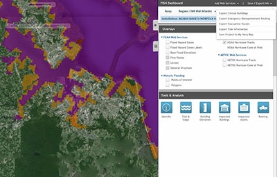
How ArcGIS Enterprise Helps Support the Navy’s Master Planning Process
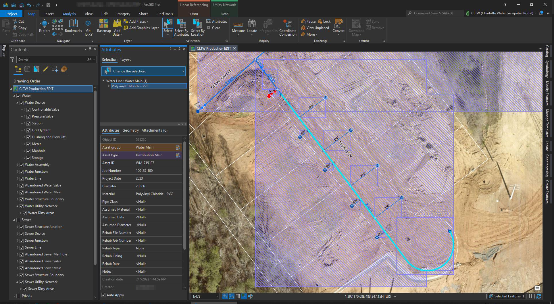
How Charlotte Water Successfully Transitioned from Geometric Network to ArcGIS Utility Network
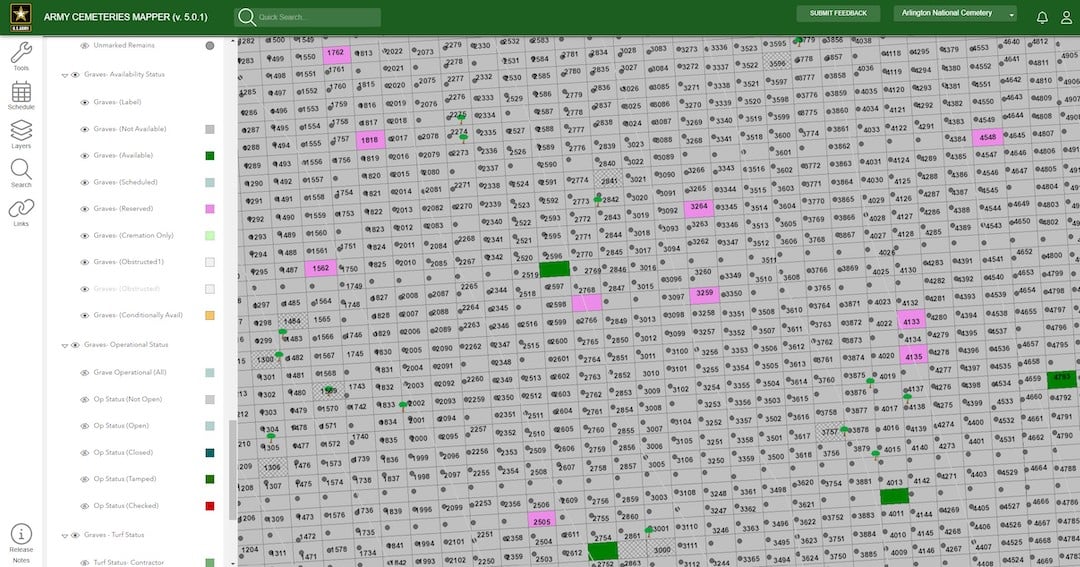
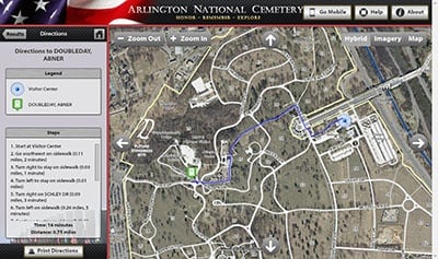
How Arlington National Cemetery Improved Visitor Experience and Functionality with Cloud Migration
Energy Management Solution
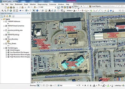
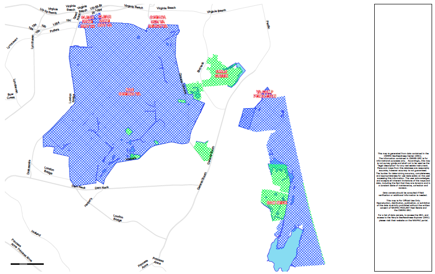
Navy Enterprise GIS Development and System Support
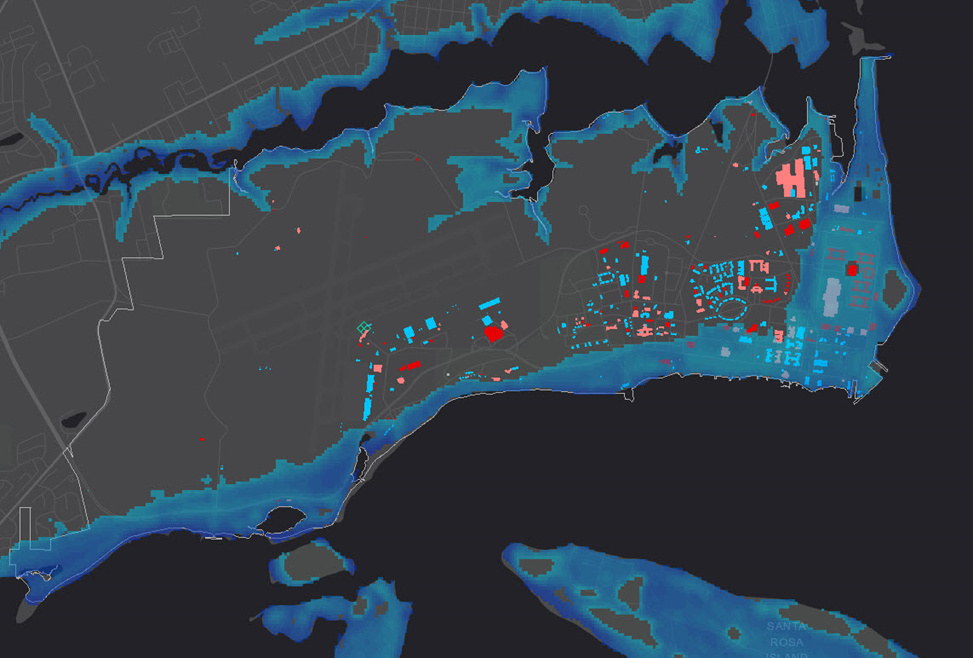
Flood Inundation Surge Hazard Application
GIS Maintenance & Sustainment for the US Navy
How the City of Hastings Transitioned to ArcGIS Utility Network Despite COVID-19 Restrictions, Limited Resources, & More
How Roanoke County, VA Optimized Efficiency Using Cityworks
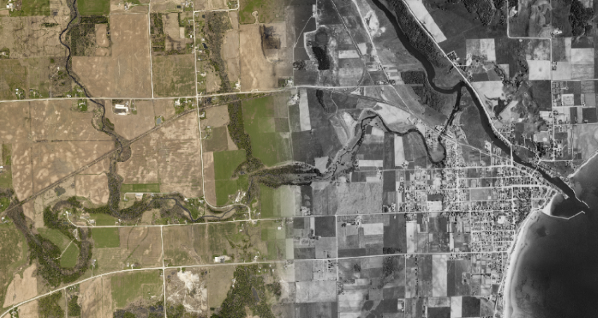
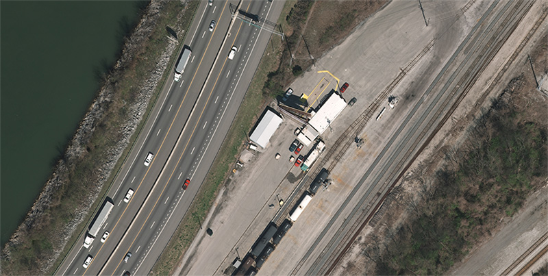
Tennessee From The Air: Aerial Orthophotography For Tennessee DOT
How the City of Pflugerville Adopted Cityworks AMS in Just 10 Weeks
How Cityworks Propelled The City of Carmel’s Data to the Modern Era
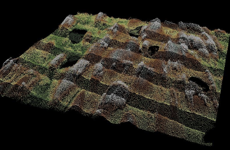
Studying Wildfire Risk With Lidar – US Forest Service
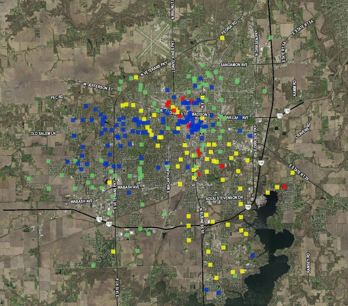
Statewide Asset Inventory & Assessment For MnDOT
Soaking Up The Sun In Texas – Aerial Mapping For Solar Farms
Road Commission Leverages Cityworks and Esri for Asset Management and Citizen Engagement
Kewaunee County Brings 80+ Year Old Data To The Digital Present
Duluth, MN “Can Of Worms” Interchange Redesign
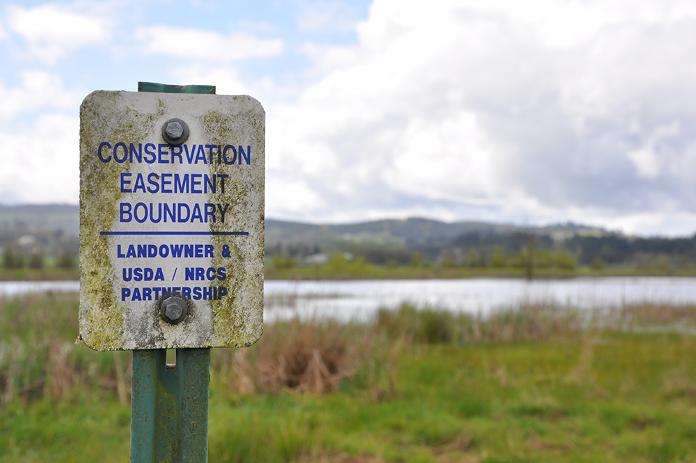
Mapping To Support Restoring Citrus Groves Through NRCS Program
Missouri River – Lidar Mapping To Support Flood Management
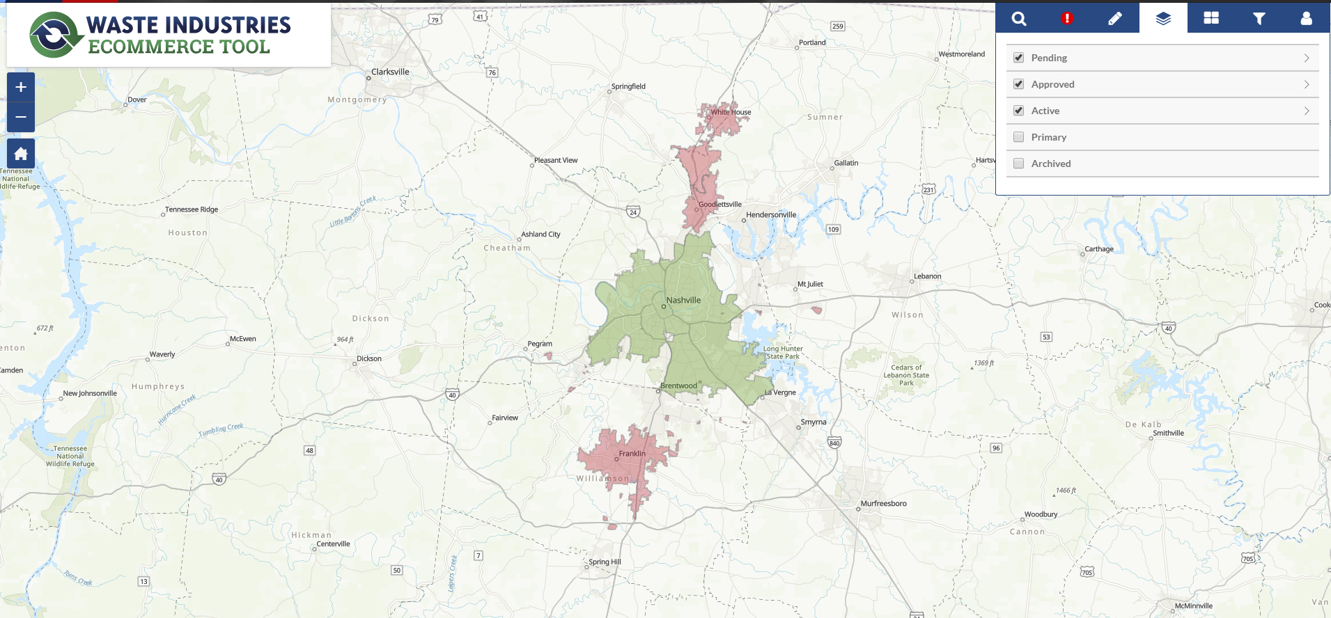
Waste Services Company in Canada Stays Up to Date with ArcGIS
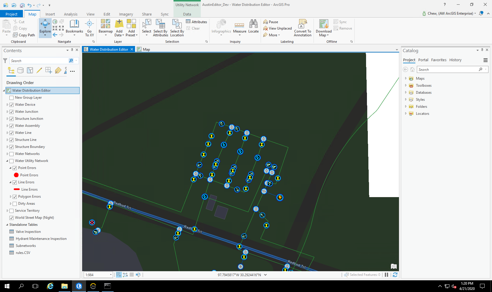
City of Austin - Austin Water Uses SSP Sync for the Transition Planning and Implementation to Esri’s ArcGIS Utility Network
INDOT Statewide Bridge Clearance Measurements
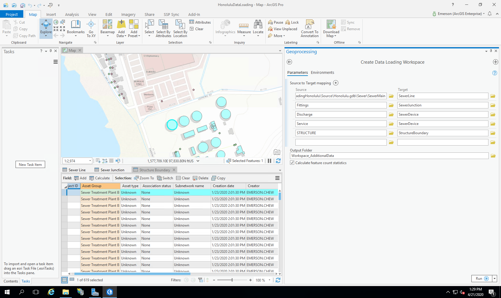
Honolulu Department of Environmental Services Chooses ArcGIS Utility Network Readiness Assessment to Plan Migration
Chatfield Marina & Reservoir Water Reallocation Project
Pennsylvania Turnpike Sign Inventory
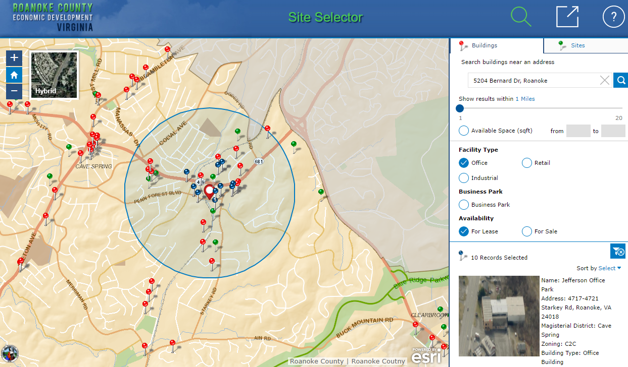
Making it Easy to do Business with Roanoke County – An ArcGIS Site Selector and Open Data Portal Success Story
Dam Assessment & Soil Erosion Monitoring At Fort Sill, Oklahoma
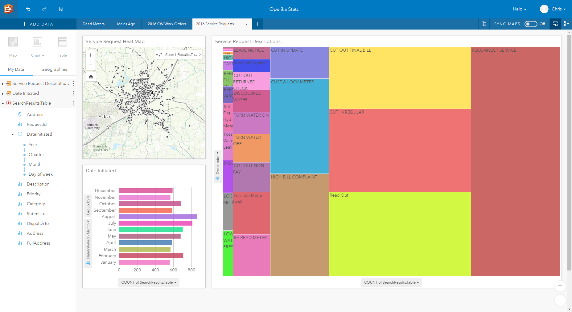
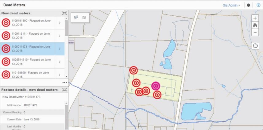
Opelika Utilities - Dead Meter Solutions, Powered by Insights for ArcGIS
Solar Site Boundary Survey At Fort Hood, Texas
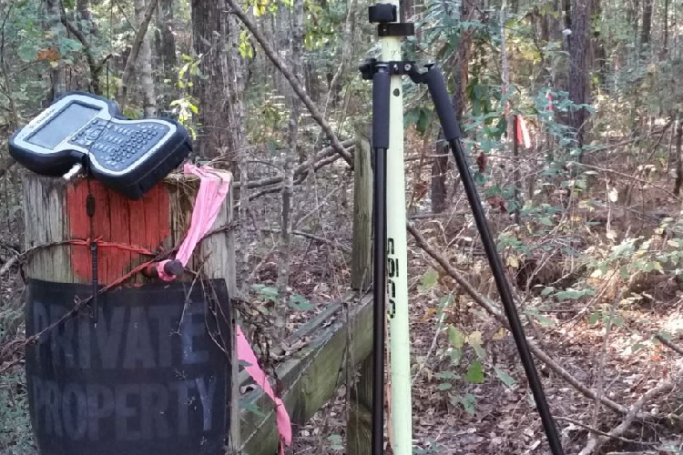
Boundary Survey At Fort Sill, Oklahoma
Improved Pole Inventory With Mobile Mapping
Expanding Fort Polk in Louisiana
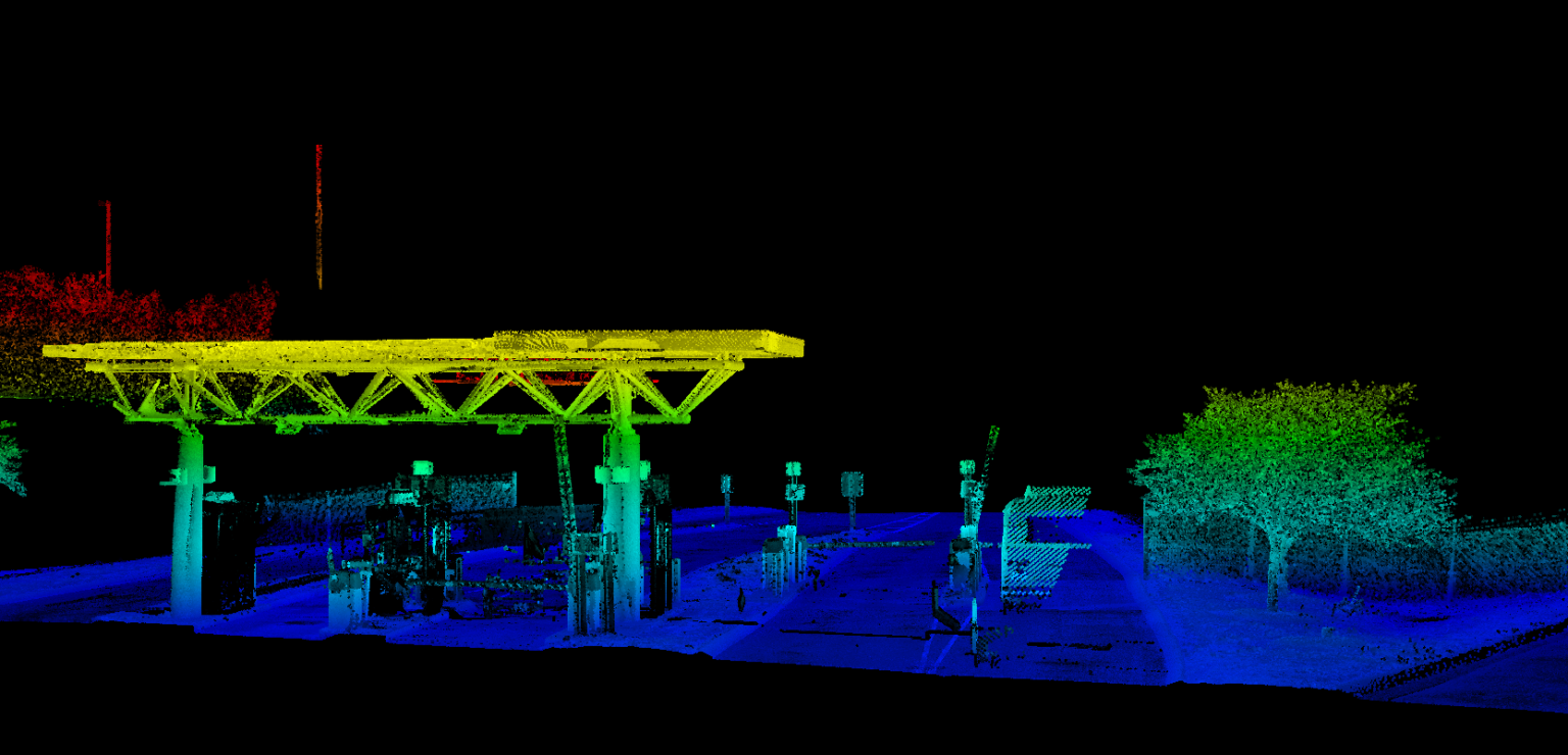
Nashville International Airport Mobile Lidar
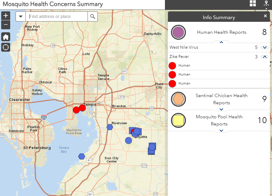
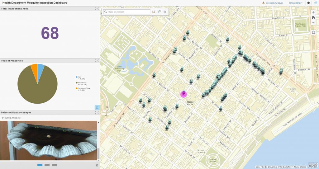
Hillsborough County Public Works Prepares for Zika with Outbreak Surveillance and Control
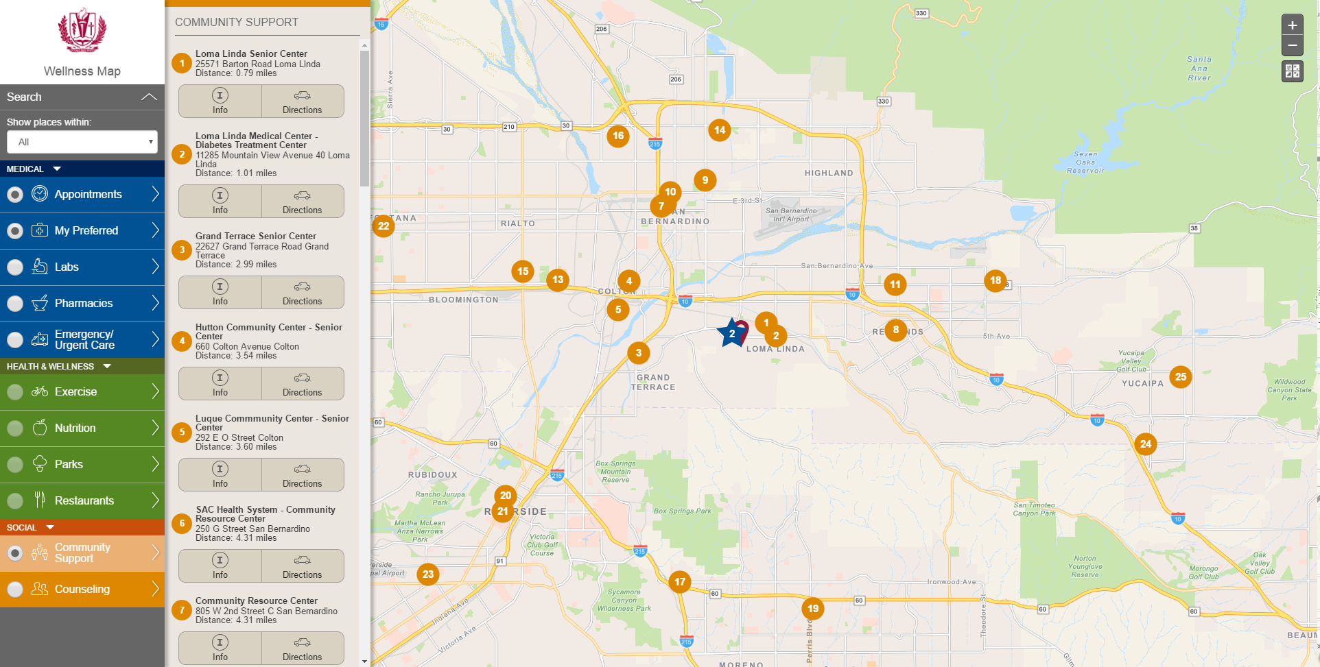
Loma Linda University Health Wellness App
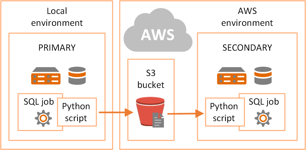
Great Lakes Water Authority Uses Amazon Web Services Simple Storage Service for Disaster Recovery
Chattanooga, TN Aerial & Mobile Collection
Pavement Analysis at Fort Hood, Texas
Countywide Lidar Processing For FEMA Hydrographic Modeling
Springfield, IL Approaches Snow Control Using Cityworks
Wyoming County ArcGIS Online Jumpstart
An Election Polling Place Application for Collin County, Texas
USACE Table Rock Lake Aerial Lidar
Opelika Utilities - Water Loss Solution
City of New Orleans – Outbreak Surveillance and Control
Cultural Mapping at Aztalan State Park
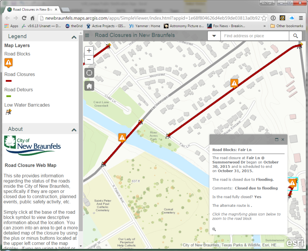
Road Closures Application
Environmental Data Model Support
911 Address Mapping
Real Property GIS Development
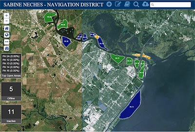
Port Dredging Management Solution
SDSFIE Data Migration
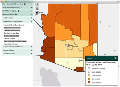
CDC Heart and Stroke Atlas
Facilities Data Reconciliation Tool
Mapping US 41: From Highway to Interstate
Master Data Management at Williams - Data Hierarchy Project
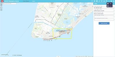
Philadelphia USACE Mapping Solution
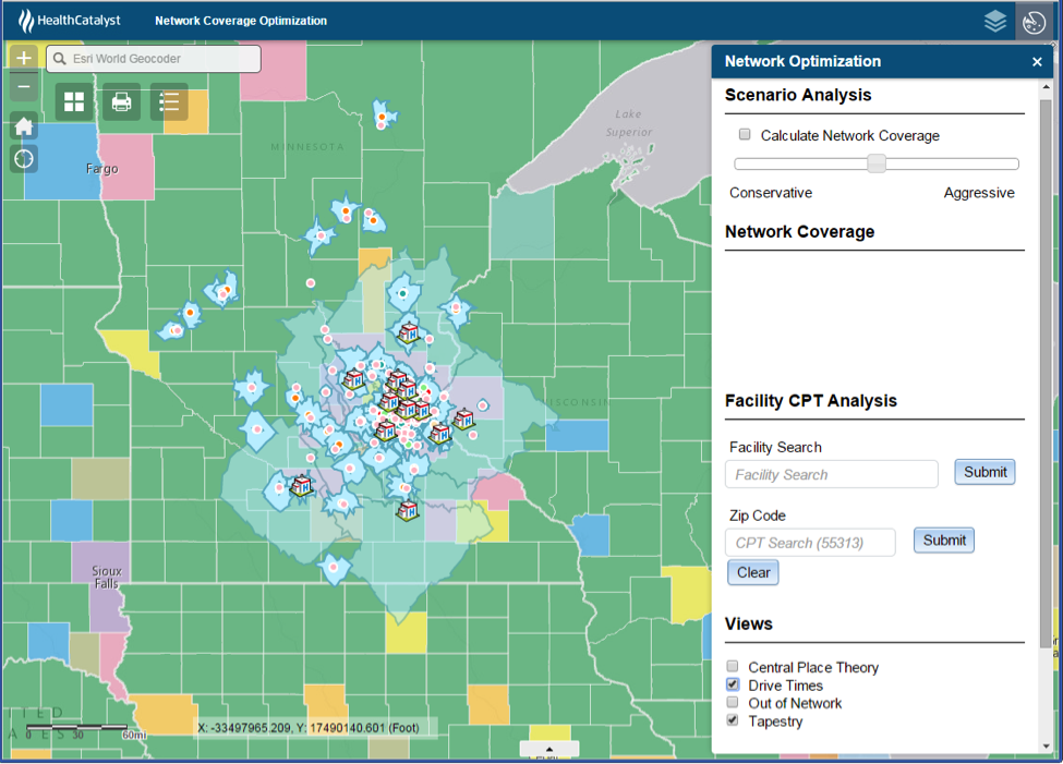
Health Catalyst uses GIS to Optimize Service Area Boundaries
The City of Aurora Platform Alignment and Upgrade
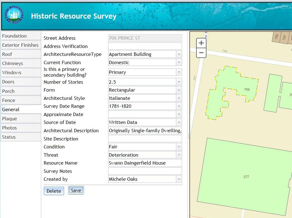
City of Alexandria, Virginia Historic Building Survey
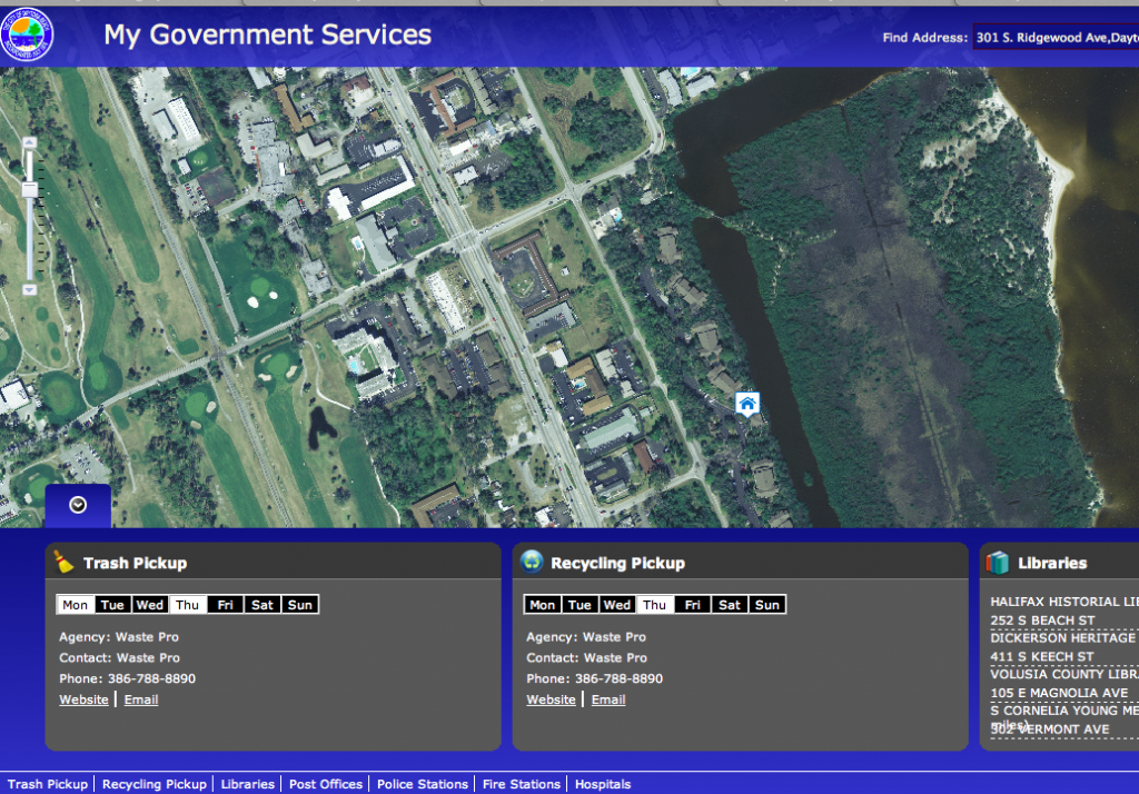
The City of Daytona Beach Gets an ArcGIS Online Jumpstart
Simplifying GIS Implementation and Adoption through ArcGIS for Local Government
Port of Huntsville Alabama
Installation Restoration Information Solution
Town of Greenville, WI Goes from Desktop to Online in a Week
Cityworks for Oakland County, MI
Web Based GIS Operation Dashboard
User Needs Assessment and GIS Road Map
Arlington National Cemetery Operations Solution
GIS Fire Mobile Solution
Arlington National Cemetery Visitor Solution
Disaster Response Framework
Pilot Patrol Application
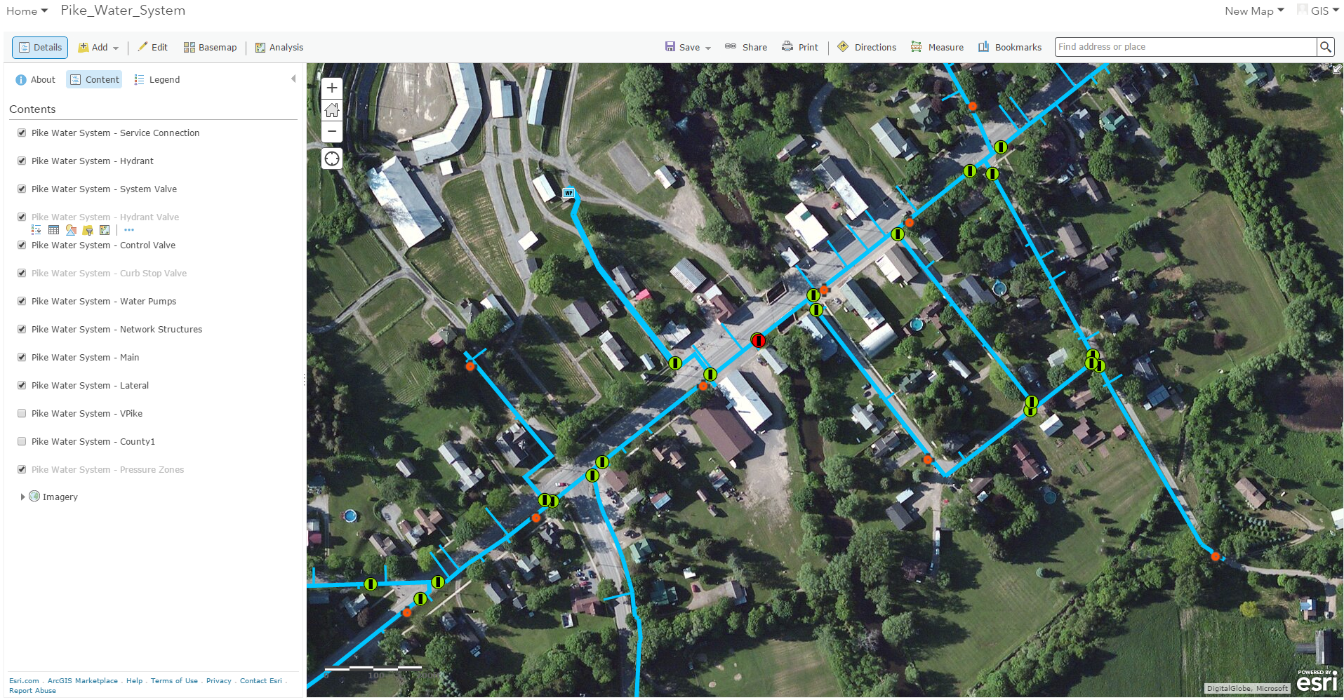
SCADA Integration for Gas Utility Company
Posts by Tag
Mapping & Visualization
(43)
State & Local
(36)
Data Transformation
(26)
Federal
(24)
Solution Design & Development
(22)
Enterprise GIS Architecture
(21)
Situational Awareness
(18)
GIS Implementation
(15)
Public Works
(14)
Knowledge Transfer & Training
(12)
Defense & Intelligence
(10)
Environmental
(10)
Utilities
(10)
Commercial
(6)
Asset Inventory
(5)
Jumpstarts
(5)
Public Health
(5)
Cityworks
(4)
Cloud
(3)
Consulting & Strategic Workshops
(3)
See all
Subscribe Here!