Products & Services
Resources
Case Studies
Blog
News
Search
N|V|5
Products & Services
Resources
Case Studies
Blog
News
Search
N|V|5
Axim Geospatial is now an NV5 company!
Blog
Content Title
Description
< Previous page
Next page >
Posts by Tag
GIS Implementation
(54)
Enterprise GIS Architecture
(38)
Mapping & Visualization
(36)
Solution Design & Development
(26)
Machine Learning & AI
(25)
Utilities
(25)
Defense & Intelligence
(24)
Federal
(24)
Public Works
(23)
Cityworks
(20)
Data Transformation
(17)
Situational Awareness
(17)
State & Local
(17)
Asset Inventory
(16)
Commercial
(13)
Facilities Management
(13)
Knowledge Transfer & Training
(13)
Public Health
(13)
Environmental
(11)
Consulting & Strategic Workshops
(10)
Women in GIS
(9)
Digital Twin
(7)
Cloud
(4)
Jumpstarts
(3)
Staff Augmentation
(2)
See all
Esri ArcGIS Enterprise: On-Premises vs. In the Cloud Insights
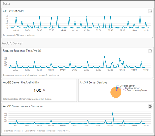
Tracking GIS Health and Performance with ArcGIS Monitor 2023
Women in GIS: Jenny Benish
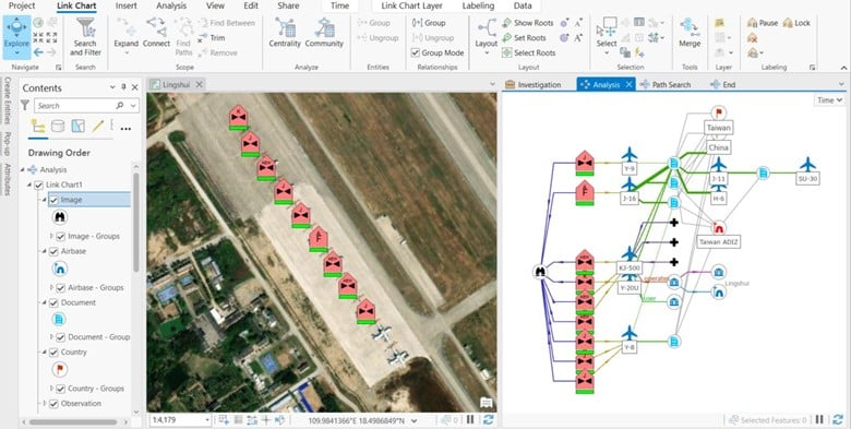
Unearthing Hidden Connections: Enhancing GIS with Graph Databases & ArcGIS Knowledge
Insights from the 2023 GEOINT Symposium
Axim at Esri User Conference 2023
Women in GIS: Carrie Aurit
Facility Management Using ArcGIS as a Catalyst for Integration & Collaboration
Commercial SAR: A Game Changer for Data Collection and Intelligence Operations
Manholes, Associations, & Attribute Rules: Advanced Utility Network Configurations
Esri DevSummit 2023 - Day 3 Recap
Esri DevSummit 2023 - Day 2 Recap
Esri DevSummit 2023 - Day 1 Recap
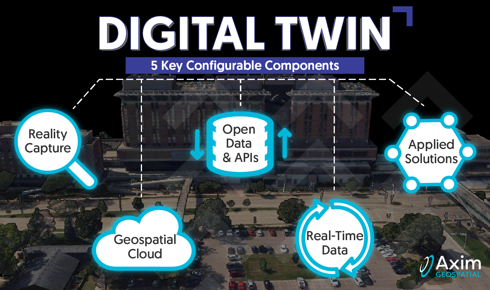
A Deeper Dive into the 5 Pillars of Digital Twin: Applied Solutions for Physical Security
Women in GIS: Tamara Dunbarr
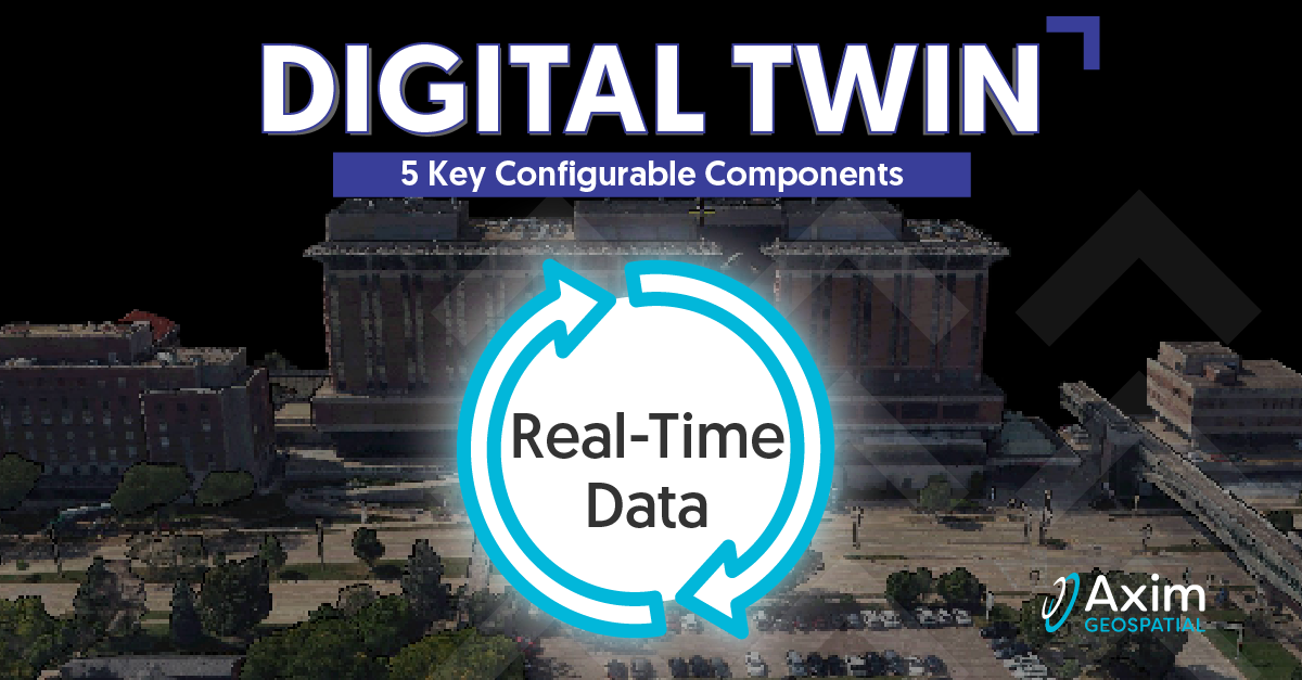
A Deeper Dive into the 5 Pillars of Digital Twin: Real-Time Data
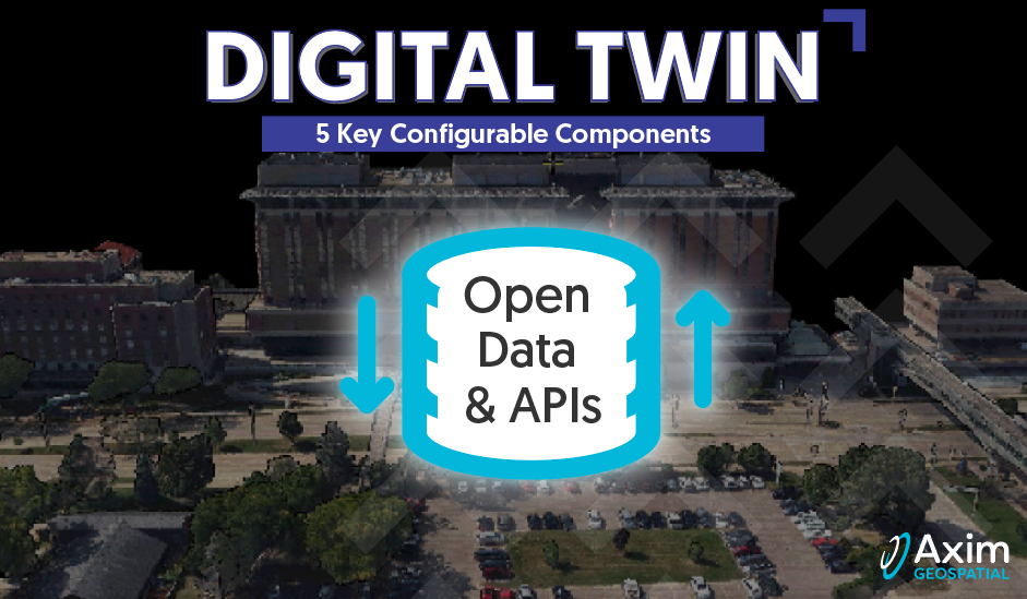
A Deeper Dive into the 5 Pillars of Digital Twin: Open Data & APIs
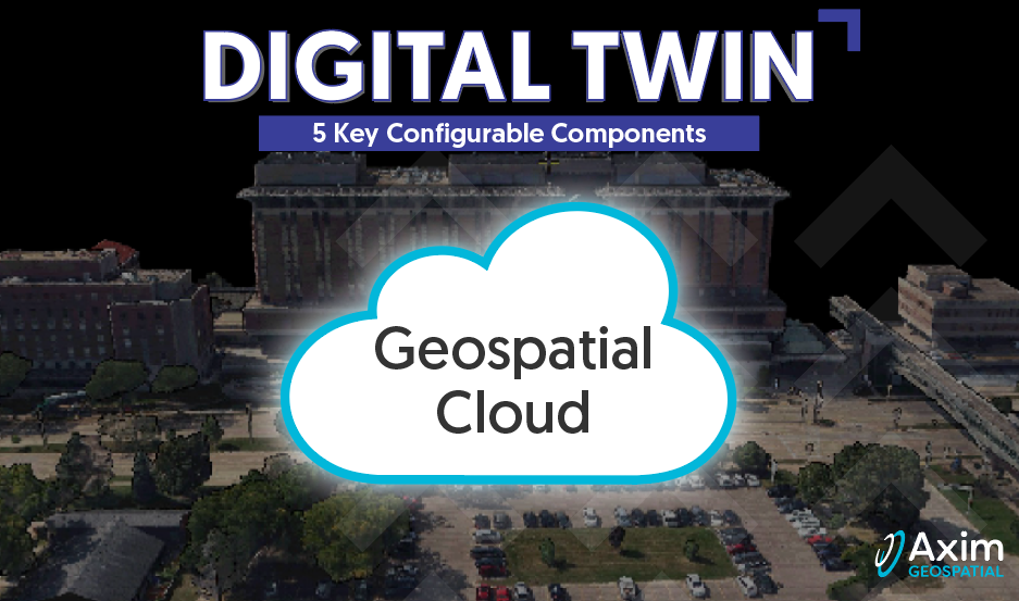
A Deeper Dive into the 5 Pillars of Digital Twin: Geospatial Cloud
Women in GIS: Haley Jurecki
Axim Events 2023
A Deeper Dive into the 5 Pillars of Digital Twin: Reality Capture
Women in GIS: Emily Mulligan
Women in GIS: Kaitelyn Kilzer
Utility Network Webinar - Q&A
Digital Twins and Geospatial: An Introduction
Women in GIS: Kristina Bechtold
Women in GIS: Amanda Sommerer
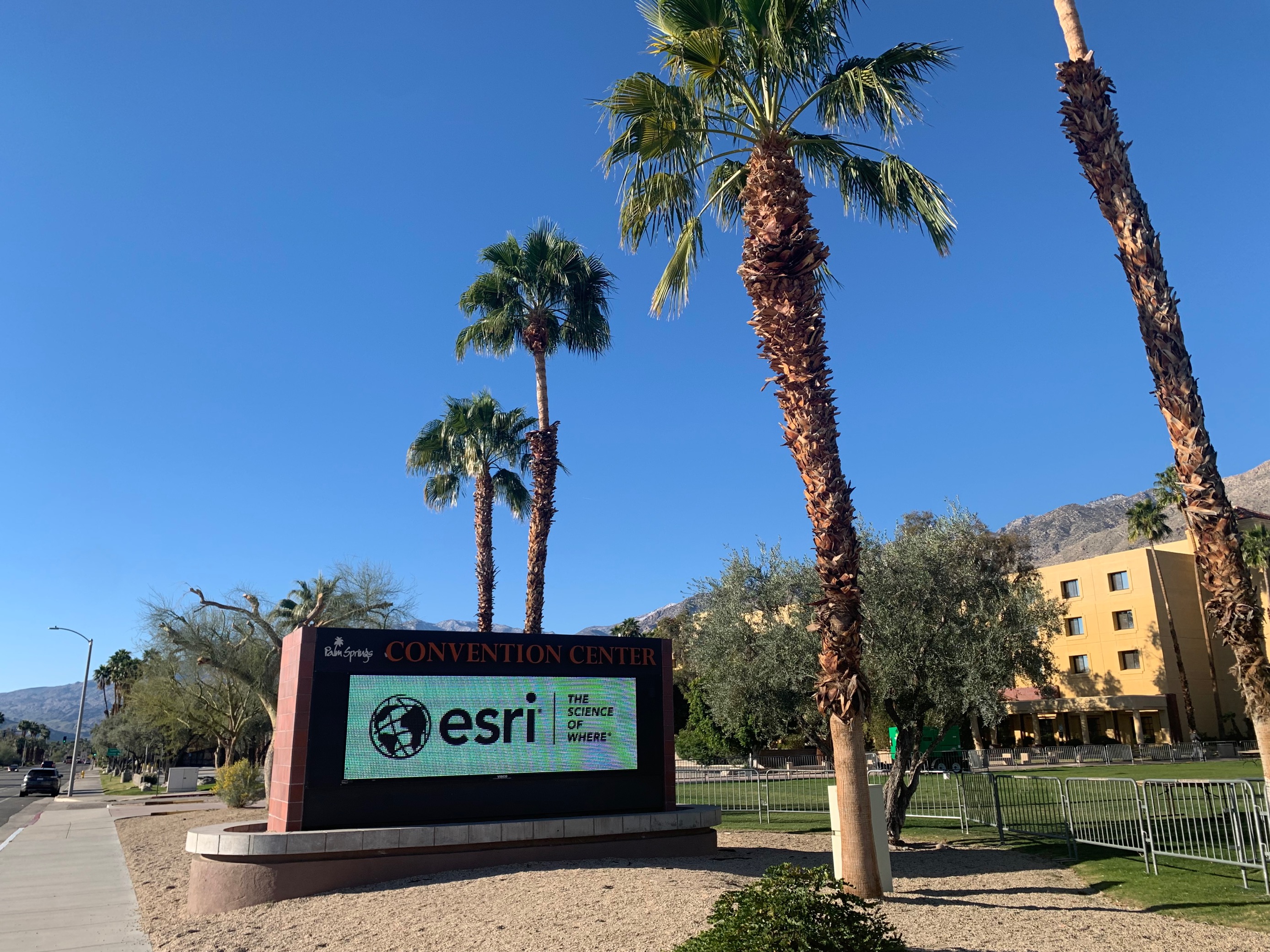
Esri User Conference 2022
Women in GIS: Kady Nolte
2022 Cloud Strategy, Migration, Management Resources
Webinar Recap: Indoor Mapping, ArcGIS Indoors, and the Blue Dot Experience
GEOINT 2022 Golden Ticket Winners Recap
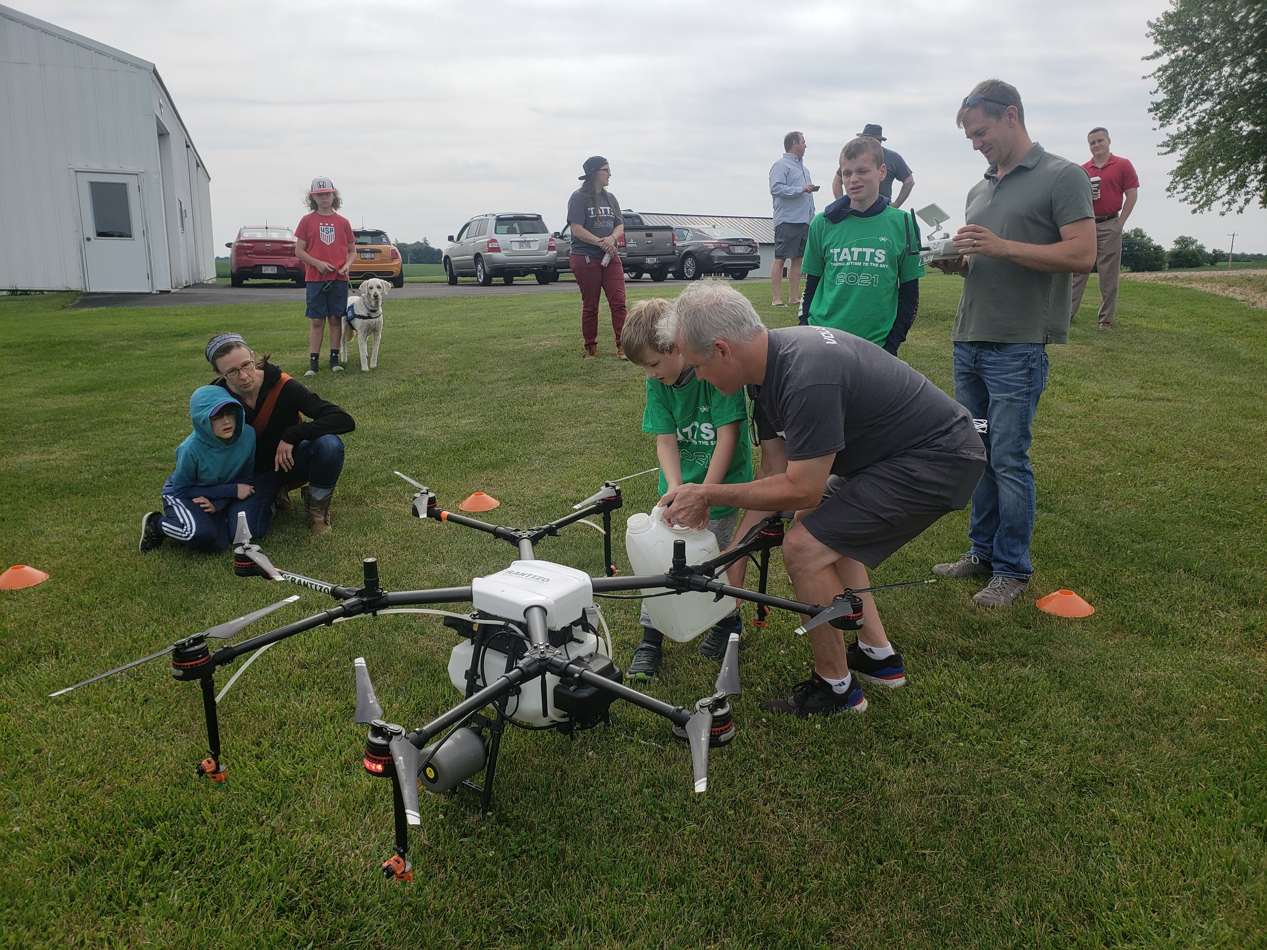
Taking Autism to the Sky (TATTS): Leveraging Drones for Social and Employment Skills Training
GISCafe Interview with Axim Geospatial's Paul Braun
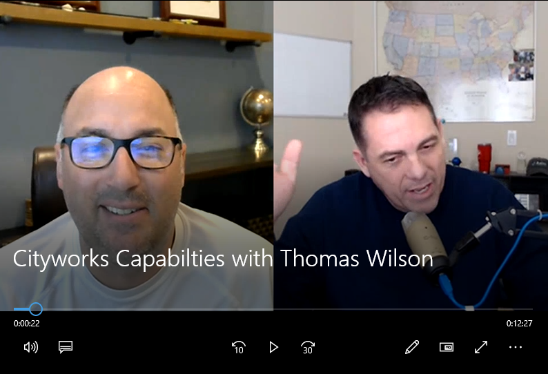
Cityworks Capabilities Overview 2022
Esri DevSummit 2022 Recap
How Do You ‘Do’ Resiliency, Anyway?
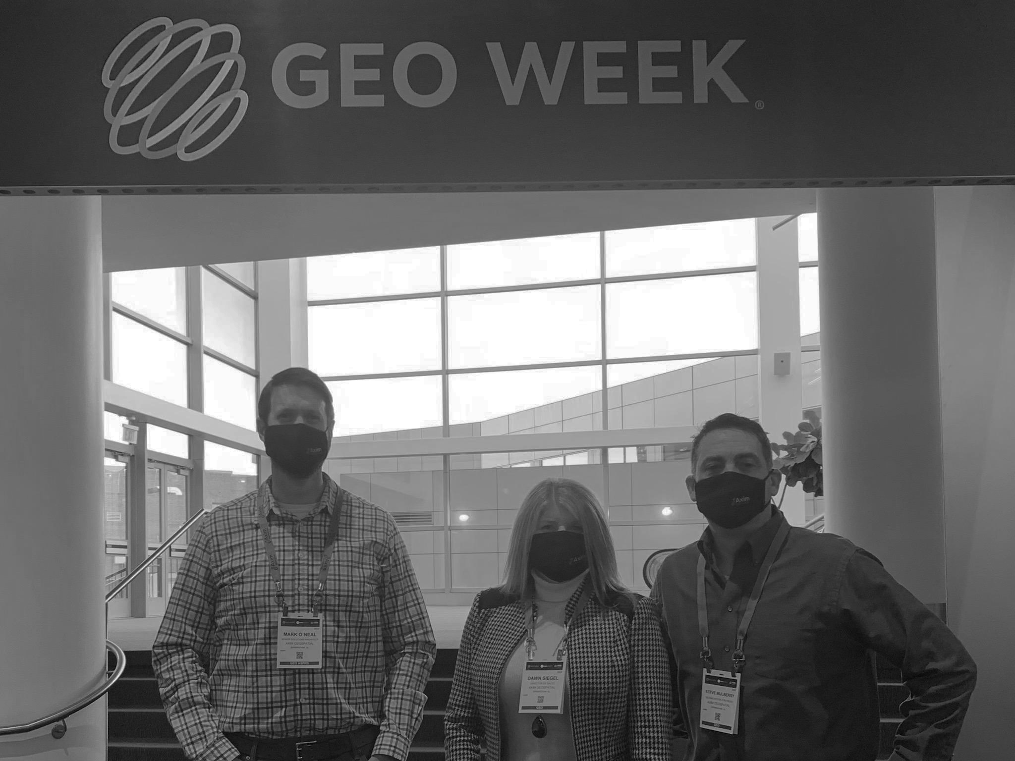
Geo Week 2022 Recap
Axim Events 2022
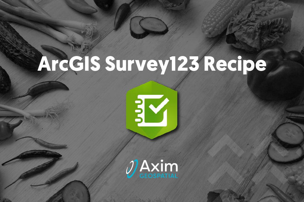
ArcGIS Survey123 Tip: How to Pre-Populate Data in a Secondary Survey Quick & Easy
Axim Comprehensive Geospatial Capabilities
Esri Imagery Summit 2021 - Recap VLOG
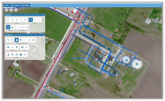
Supporting Clients with ArcGIS Utility Network
What is an Axim Support Block?
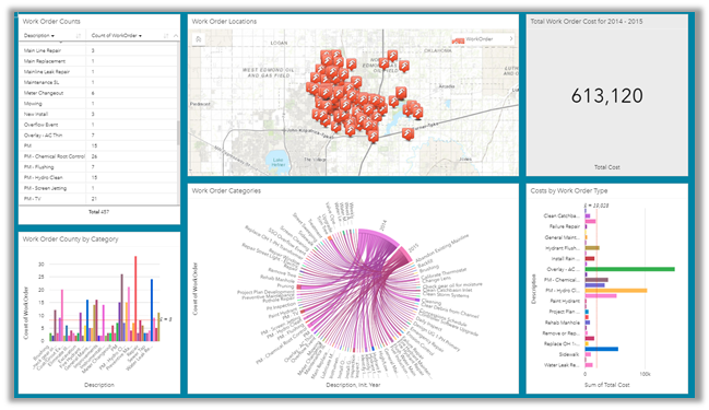
Cityworks Analytics and Operational Insights
Cityworks – Alternative Workflow for Treatment Plant Operators
Cityworks – Make it Work for You
Creating Cityworks Solutions with FME
Esri DevSummit 2021 - Day 3 Recap
Esri DevSummit 2021 - Day 2 Recap
Esri DevSummit 2021 - Day 1 Recap
Visualize Your Cityworks Data
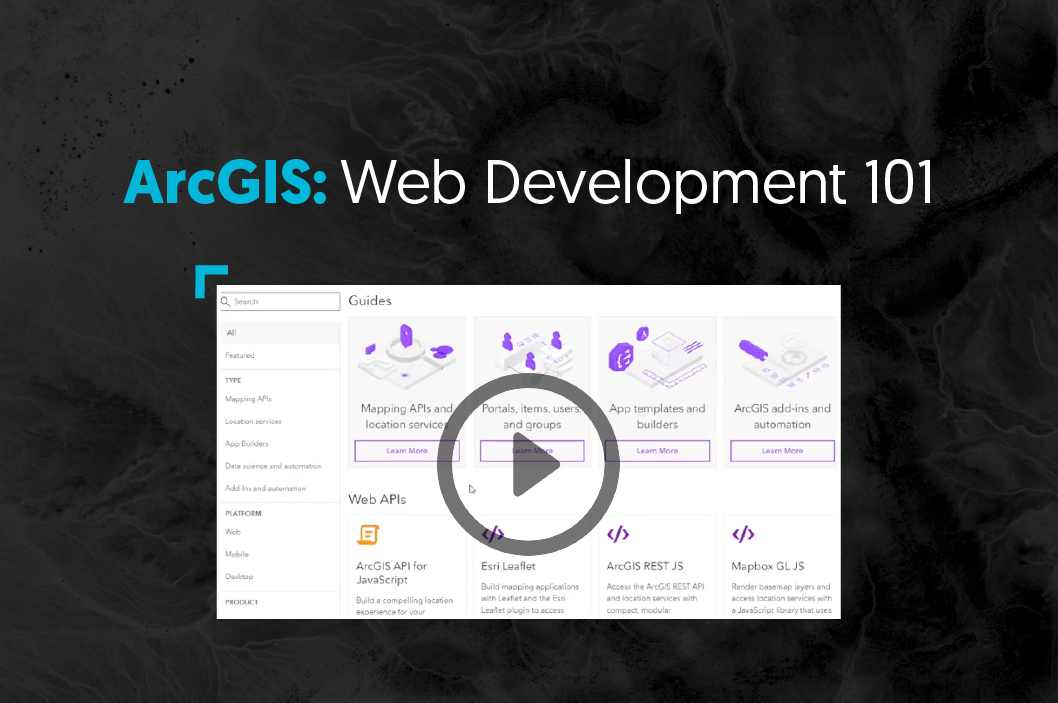
ArcGIS Web Development 101
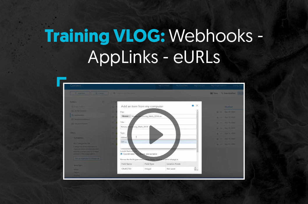
Training VLOG: Webhooks - AppLinks - eURLs
Industry Terrain: Kevin Hope
2020 Blog Series: Cloud Managed Services
Thoughts On Cartography
Top 5 Benefits of Geospatial Asset Inventory
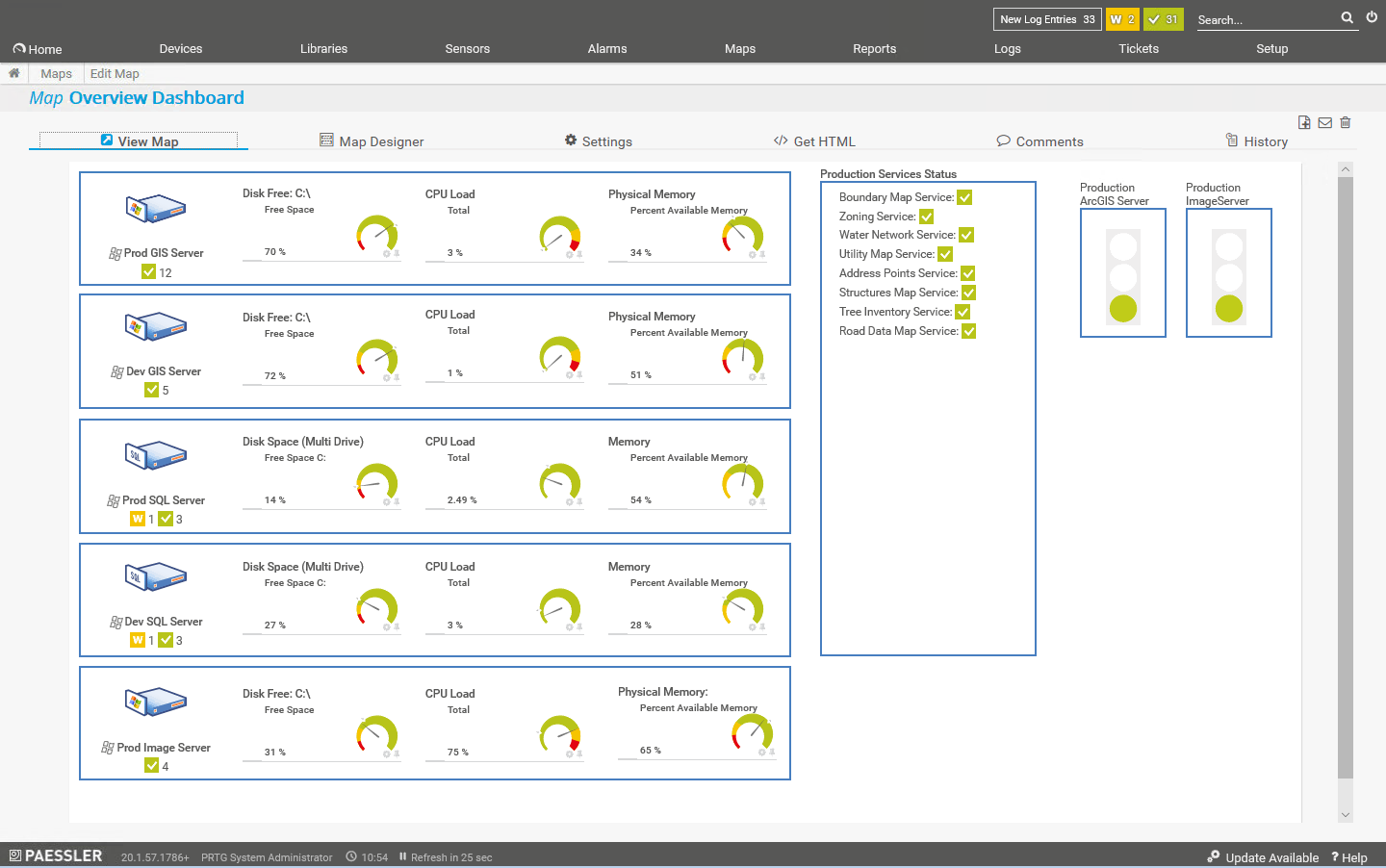
Monitoring the Health of ArcGIS Enterprise
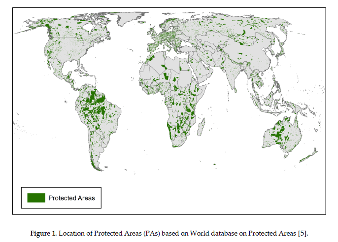
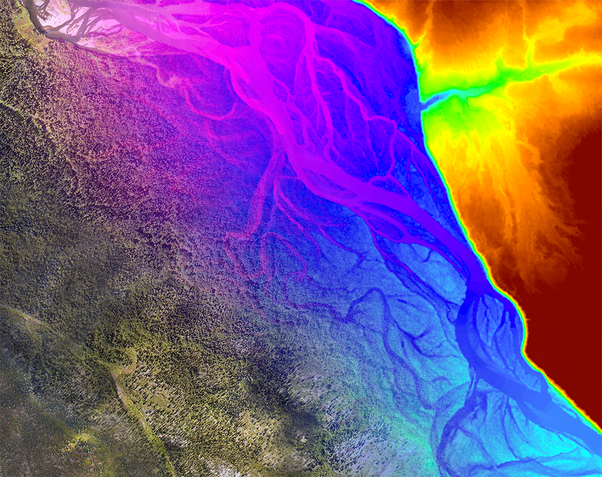
Exploring Threats to Global Forests with GIS
2020 Blog Series: Utility Network Management
ArcGIS Enterprise - Desktop in the Cloud
ArcGIS Enterprise - Cloud Business Continuity
ArcGIS Enterprise - Cloud Migration Process
ArcGIS Enterprise - Cloud Management Tools
Location Data and Smart Military Bases
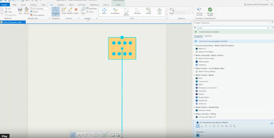
ArcGIS Utility Network Management - Containment Associations
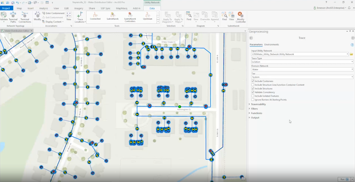
ArcGIS Utility Network Management - Isolation Tracing
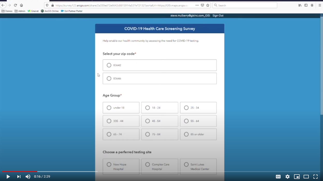
COVID-19 Healthcare Screening Survey and Dashboards
ArcGIS Utility Network: Project Approach for Water Utilities
Technology Challenges for Smart Military Bases
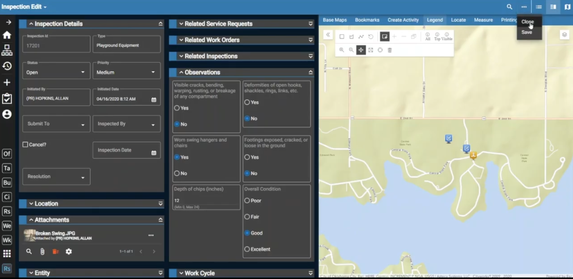
Cityworks Native App - Field Asset & Work Order Management Made Easy
Cityworks Respond: Asset & Work Order Management Made Easy
3 Reasons to Implement Esri's ArcGIS Utility Network Management Solution
Smart Military Bases - Resiliency with GIS
Working From Home - 10 Tips from our Axim Team
Automated Vehicles 4.0: Breaking Down The Latest Policy Report From USDOT
Esri DevSummit 2020 Livestream Recap
Informed Spatial Analytics with Masked Protected Health Data
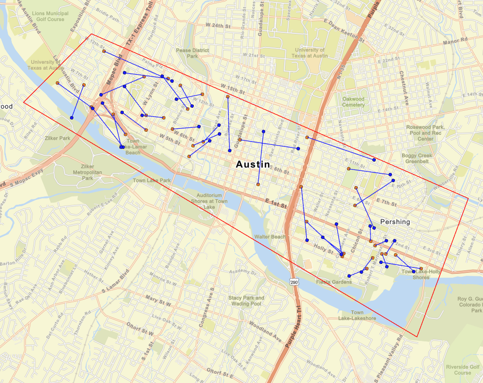
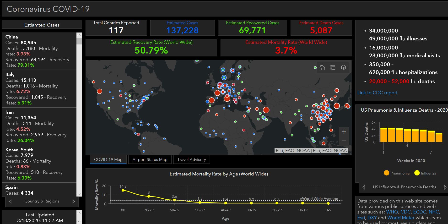
Coronavirus Use Cases to Display Data with Dashboards and StoryMaps
Top 8 Enhancements of ArcGIS Enterprise 10.8
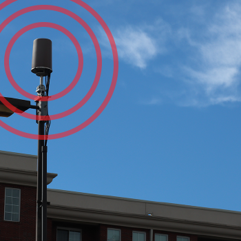
5G Benefits From 3D Geospatial Data
Is It Autonomous Or Automated? Phrasing Is Important
What is GIS and What Do GIS Professionals Do?
Esri DevSummit 2019 - Keynote Speaker, Glenn Vanderburg
Esri DevSummit 2019 - ArcGIS for Startups
5G Wireless Rollout Requires Geospatial Technologies
OpenDRIVE: A Different Kind Of AV Basemapping
Standardization Is Critical For Autonomous Vehicles
Bridging The Urban-Rural Divide In 5G Rollout With Geospatial Data
Auditing Geospatial Artificial Intelligence
5 Thoughts On Geospatial Artificial Intelligence
Posts by Tag
GIS Implementation
(54)
Enterprise GIS Architecture
(38)
Mapping & Visualization
(36)
Solution Design & Development
(26)
Machine Learning & AI
(25)
Utilities
(25)
Defense & Intelligence
(24)
Federal
(24)
Public Works
(23)
Cityworks
(20)
Data Transformation
(17)
Situational Awareness
(17)
State & Local
(17)
Asset Inventory
(16)
Commercial
(13)
Facilities Management
(13)
Knowledge Transfer & Training
(13)
Public Health
(13)
Environmental
(11)
Consulting & Strategic Workshops
(10)
Women in GIS
(9)
Digital Twin
(7)
Cloud
(4)
Jumpstarts
(3)
Staff Augmentation
(2)
See all
Subscribe Here!