This article may reference work, projects, customers, and contracts related to NV5 legacy companies before their acquisition by NV5.
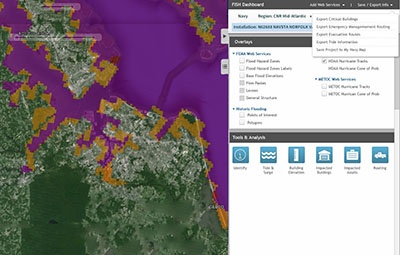
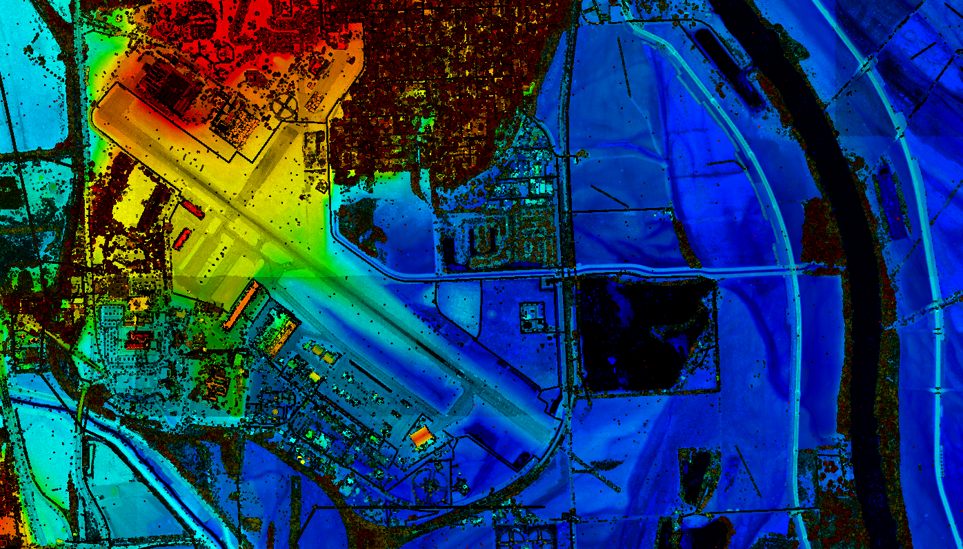
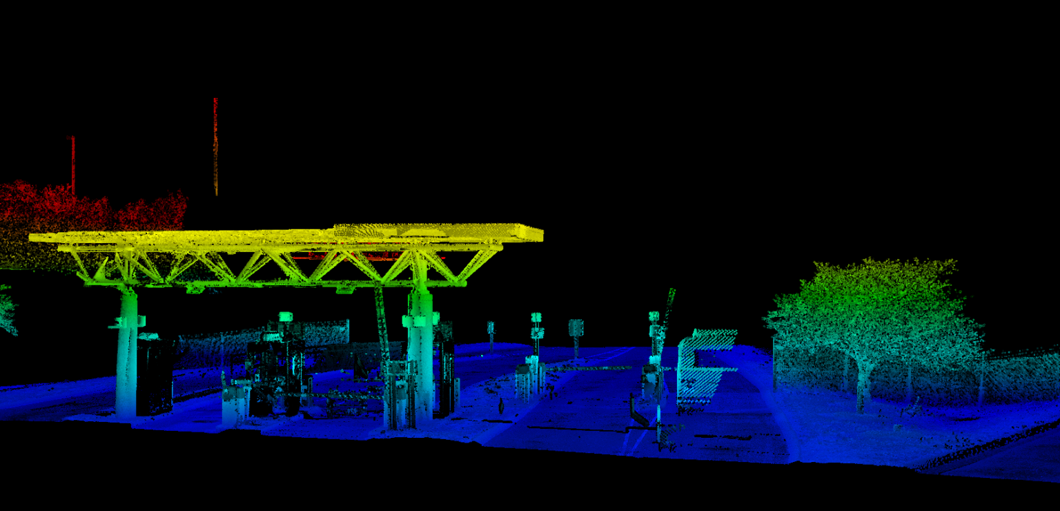
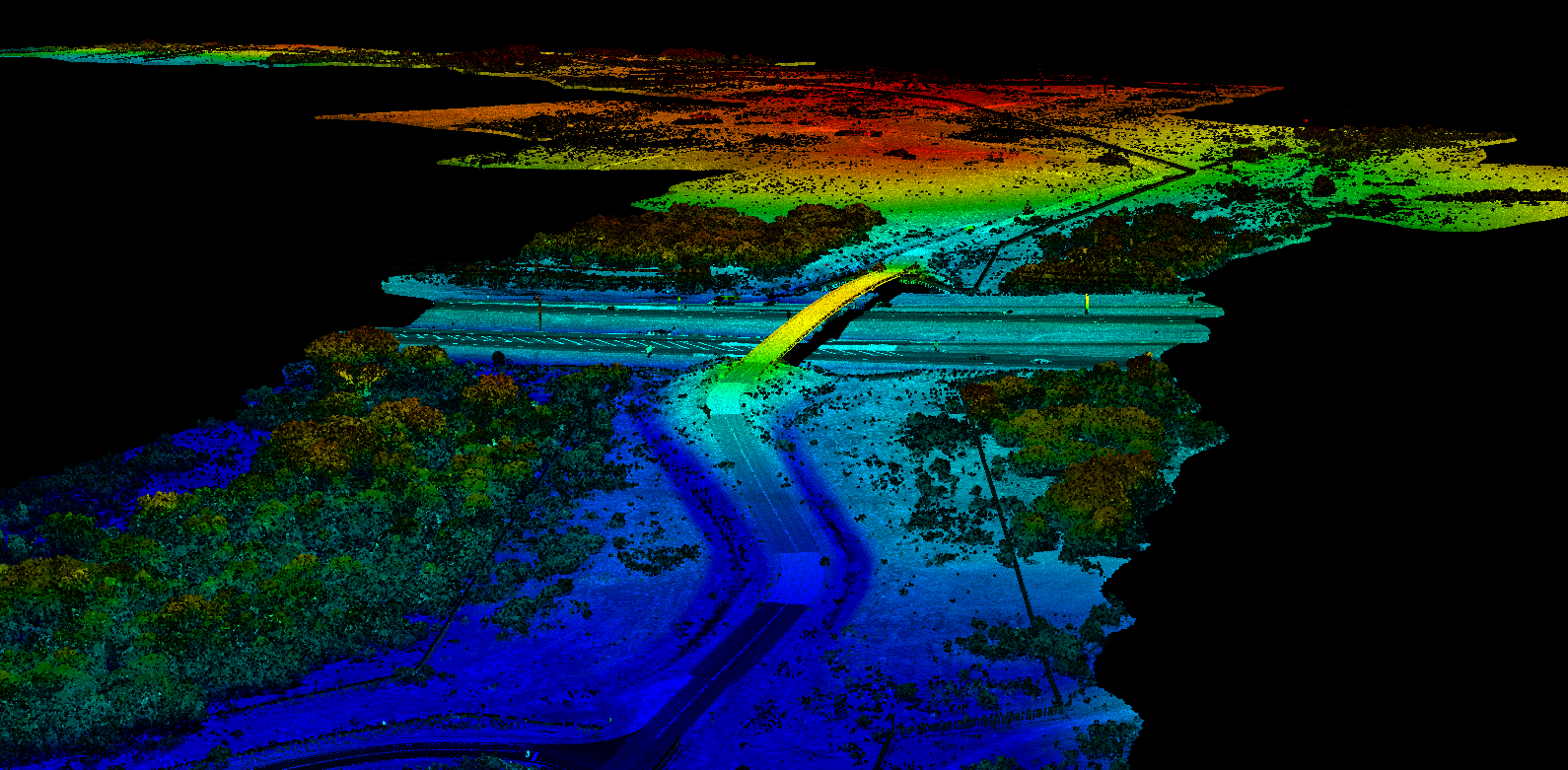
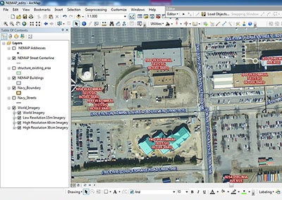
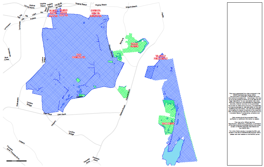
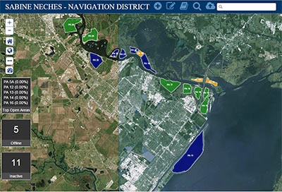
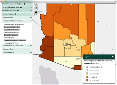
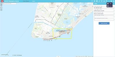
The United States Navy relies on critical shore infrastructure to empower its mission of defending our nation’s interests around the globe. Effective planning ensures support for the fleet, fighter, and family for today’s mission and beyond. Management of and planning for Navy assets requires data inputs from a variety of spatial and non-spatial systems. These datasets often support a very specific mission silo and must be integrated with other data to effectively plan for the future. The Navy employed Esri’s ArcGIS Enterprise in order to integrate these disparate datasets and empower the planning process.