Kristina Bechtold | October 17, 2022
Meet Axim's Kaitelyn Kilzer and learn about her journey in GIS.
Read More
Michael Parma | October 7, 2022
Axim's ArcGIS Utility Network experts answer questions submitted during our recent UN webinar.
Read More
Kevin Stewart | October 5, 2022
Axim explores the roots of Digital Twins, as well as the core configurable components that comprise a Digital Twin.
Read More
Amanda Sommerer | August 25, 2022
Meet Axim's Kristina Bechtold and learn about her journey in GIS.
Read More
Kady Nolte | July 26, 2022
Meet Axim's Amanda Sommerer and learn about her journey in GIS.
Read More
Patrick Murn | July 5, 2022
Attending the Esri User Conference? Visit Axim Geospatial in Booth 1019 at the San Diego Convention Center.
Read More
Kate Graff | May 24, 2022
Welcome to the first article of our Women in GIS series! Over the next few months, different Axim Employees will spotlight different #WomenOfAxim to share with the geospatial community how diverse, talented, and impactful the women at Axim Geospatial are.
Let's first spotlight Kady Nolte out of Axim's St. Louis office!
Read More
Shannon Prather | May 20, 2022
Over the past few years, Axim experts have released a few short Video Blogs (VLOGs) to help Esri Customers who are interested in ArcGIS Enterprise Cloud Tools, Migrations, Business Continuity, or Desktop in the Cloud. As a bonus, we added in a discussion of Monitoring the Health of ArcGIS Enterprise.
Read More
Shannon Prather | May 5, 2022
Axim Geospatial, Esri, and Harry Reid International Airport hosted a webinar last week on Indoor Mapping, ArcGIS Indoors, and IPS. Watch the recording OnDemand and browse the Q&A from our attendees and panelists!
Read More
Patrick Murn | May 5, 2022
Axim was extremely proud to have two of our incredibly talented employees selected as Golden Ticket winners attend this year: Andy Courtney and Emma Green. We asked them each for their top five takeaways from their experience at GEOINT as Golden Ticket winners. Keep reading to see what most stood out to them.
Read More
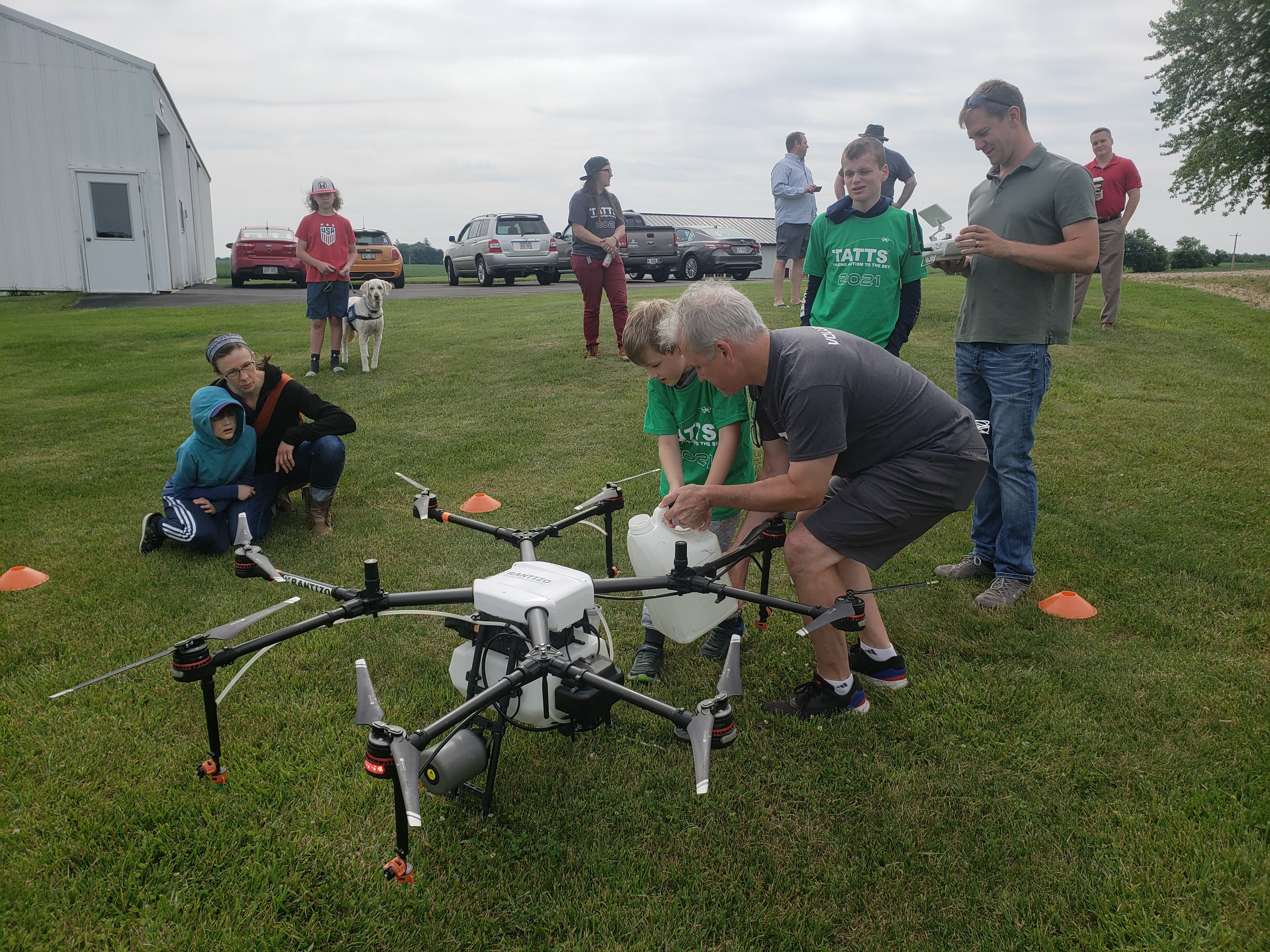
Dan Frye | April 20, 2022
Taking Autism to the Sky (TATTS) is a volunteer-run, award-winning, non-profit organization founded by Axim Geospatial's VP of Sales and Marketing, Paul Braun. Founded in 2012 in Maidson, WI, TATTS leverages drones to develop social and employment skills for autistic individuals.
Read More
Shannon Prather | April 14, 2022
Earlier this month Sanjay Gangal from GISCafe interviewed Paul Braun, Senior Vice President of Sales and Marketing at Axim Geospatial, the full service, end-to-end geospatial services and solutions firm and a Platinum Partner of both Esri and Cityworks.
Read More
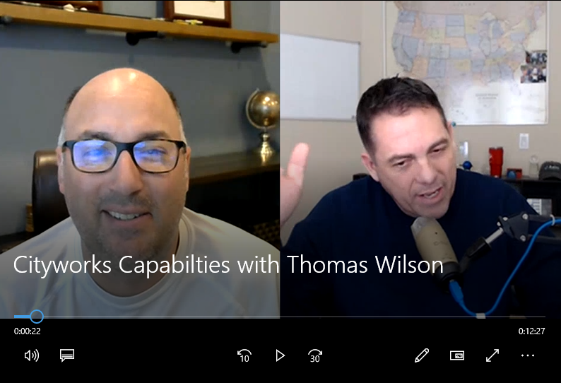
Thomas Wilson | March 18, 2022
Learn more about Cityworks AMS and PLL in this Cityworks Overview VLOG.
Read More
Patrick Murn | March 16, 2022
We’re recapping the Esri Dev Summit 2022 with all the product updates, new technology focus, and other big news from the Esri world.
Read More
Paul Braun | February 17, 2022
Resilience is commonly defined as the ability to prepare for and adapt to changing conditions and withstand and recover rapidly from disruptions. It includes the ability to withstand and recover from deliberate attacks, accidents, or naturally occurring threats or incidents.
Read More
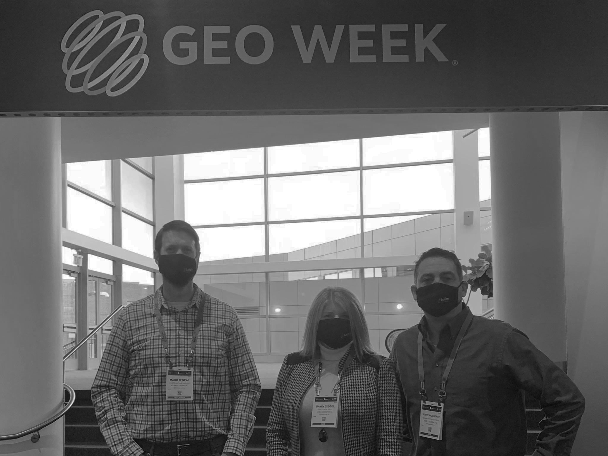
Mark O'Neal | February 16, 2022
Get the inside scoop on Geo Week 2022. From lidar based reality capture and digital twin to the USGS 3D Elevation Program (3DEP) and the future of 3D topography projects, Mark O'Neal breaks down all you need to know.
Read More
Shannon Prather | February 15, 2022
Axim is back on the road and coming to a location near you!
If you're traveling to any of the following events, we encourage you to connect with a member of our team.
Read More
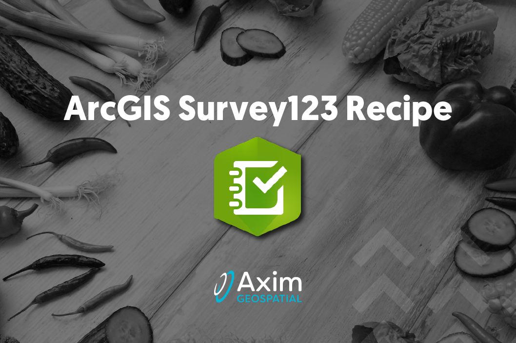
Sasha Lockamy | January 27, 2022
Learn how to pre-populate data in a secondary survey with data entry from the first survey in Survey 123.
Read More
Patrick Murn | January 5, 2022
Axim Geospatial’s mission is to use our expertise to provide clarity and solutions to help our clients solve the world’s toughest problems.
Read More
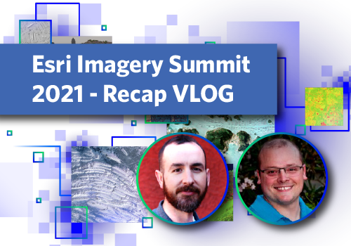
Colin Johnson | October 28, 2021
Get a summary of the 2021 Esri Imagery Summit in this VLOG from Axim's Colin Johson and Chris Blinn.
Read More